Premium Only Content
This video is only available to Rumble Premium subscribers. Subscribe to
enjoy exclusive content and ad-free viewing.

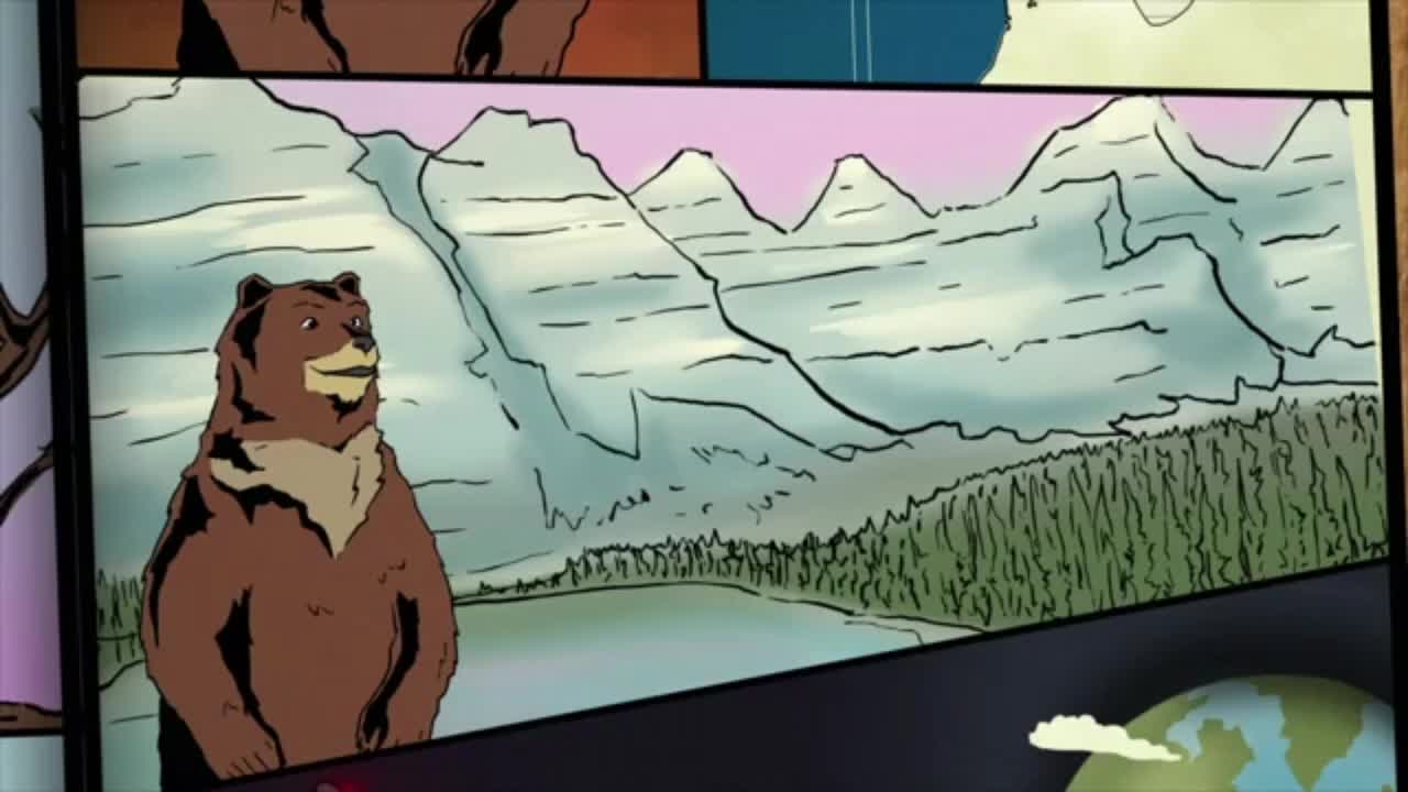
We try to provide the right environment for grizzly bears
2 years ago
3.07K
Now, instead of ordinary, static habitat maps,these dynamic, time-lapse habitat maps could be used for grizzly bear conservation in a number of ways.First, they help calculate the carrying capacity of the study area.In other words, how many bears can the remaining habitat support?Is there enough food to go around?Second, the maps show where bears will be foraging at specific times.We can prevent disturbing the bears and stressing them out by avoiding these areas during important feeding periods.Finally, the maps can be used to predict the effects of climate change,where shifting annual temperatures will alter the rate of plant growth,throwing the bears' precise foraging schedule out of whack.
Loading comments...
-
 4:38
4:38
Michael Heaver
11 hours agoShifting UK Triggers Rapid REVOLUTION
2301 -
 58:53
58:53
The White House
3 hours agoPress Secretary Karoline Leavitt Briefs Members of the Media, July 31, 2025
24.3K30 -
 5:48:07
JuicyJohns
7 hours ago $2.81 earned🟢#1 REBIRTH PLAYER 10.2+ KD🟢$500 GIVEAWAY SATURDAY!
74.4K3 -
 LIVE
LIVE
IrishBreakdown
2 hours agoNotre Dame Fall Camp Practice Report
66 watching -
 1:04:08
Timcast
3 hours agoPelosi MELTS DOWN After Trump Accuses Her Of INSIDER TADING, PELOSI ACT Moves Forward
152K83 -
 1:54:53
Steven Crowder
6 hours ago🔴 Is the Sig Sauer P320 Killing People & Trump Wins the Trade War: Guest Brandon Herrera
332K244 -
 1:09:57
Rebel News
2 hours agoCanada to recognize Palestine, US trade deadline looms, Charter-protected bike lanes | Rebel Roundup
19.1K10 -
 1:00:16
TheAlecLaceShow
3 hours agoGuest: Roger Stone | Kash Patel Finds Hoax Docs in Secret FBI Room | The Alec Lace Show
18.7K5 -
 1:43:37
The Rubin Report
4 hours agoWhy I’m Taking a Break
56.7K39 -
 1:36:22
The Mel K Show
4 hours agoMORNINGS WITH MEL K -Truth Tsunami Alert: Panic in DC! 7-31-25
29.3K13