Gino Recchia NBC26 Weather Forecast
A flood watch remains in effect until Monday afternoon for areas along and south of Highway 29. Additional showers and storms are going to develop across Northeast Wisconsin overnight which will result in additional rainfall over areas that have already seen several inches last night into this morning. Showers and storms should peak in intensity and coverage around 3-6 AM with most of the precipitation exiting over the lake sometime around 10-11 AM. Afterwards, skies will clear out with temperatures remaining in the lower 70s for highs. We will be sunny and comfortable on Tuesday as temperatures get back up into the upper 70s to the lower 80s. Wednesday will be the warmest day of the week with highs topping out in the mid 80s. There will be a slight chance of a shower or storm Wednesday night as a cold front dives south. We are not expecting any severe weather at this time.
-
 3:51
3:51
WGBA
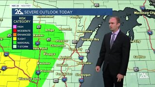
1 year agoGino Recchia NBC26 Weather Forecast
1 -
 2:34
2:34
WGBA
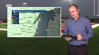
1 year agoGino Recchia NBC26 Weather Forecast
3 -
 15:40
15:40
Great Lakes Weather
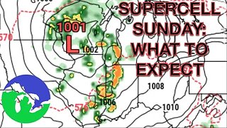
10 months agoSupercell Sunday: Severe Weather Potential for Michigan and Indiana -Great Lakes Weather
14 -
 12:19
12:19
Great Lakes Weather
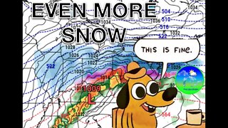
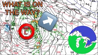
2 years agoMore Active Weather Ahead, Thunderstorms AND Snow in One Week -Great Lakes Weather
4 -
 6:46
6:46
The Siouxland StormTrack Weather Channel
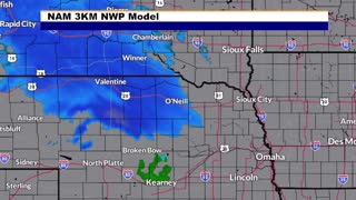
1 year agoSioux City Weather Forecast
7.06K -
 9:13
9:13
TiffanysContent
5 months agoChicago Fog, Gulf Coast Flood, ThunderStorms, Freezing Rain, Snow, Atmospheric River
39 -
 14:50
14:50
Great Lakes Weather
2 months ago $0.20 earnedMid-Week System May Bring Severe Weather & Cooler Air to the Great Lakes
4371 -
 10:34
10:34
Great Lakes Weather
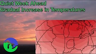
10 months agoThunderstorms Tuesday; Quiet Pattern Ahead with Gradual Warming Trend -Great Lakes Weather
4 -
 12:48
12:48
Great Lakes Weather
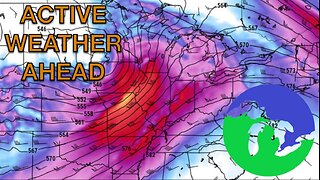
2 months ago $0.83 earnedSevere Weather Possible in Ohio Tomorrow; Active Weather Pattern Ahead
792 -
 32:59
32:59
Great Lakes Weather
11 months agoLive SEVERE WEATHER BRIEFING for Michigan, Indiana, Ohio
2