Receiving weather satellites Raspberry PI or Linux PC
I found it necessary to create this article for a few reasons
Most of the YouTube/Instructables focus on aerials or only Windows installation. The ones that are for the Raspberry Pi are out of date. A url has changed which prevents WxToImg updating from Celestrak.com.
So this article is all done on a Raspberry Pi 4 4 Gb with 64 Bit Raspberry OS though it should work on 32 bit and Raspberry Pi 3 versions too with no mods though you may need to compile code from source.
As so much had changed, and I have never had successful reception of weather satellites. So I spent some time sorting out all the stages to do it and as a bonus and they no longer require building from source code.
Here is what you will need -
A budget SDR such as NooElec SmartSDR or RTL-SDR blog V3 or other clone
An aerial to receive 137 Mhz to start with
SDR Software such as GQRX or SDR++ (that does need to be compiled)
Specific settings on your SDR software for satellites
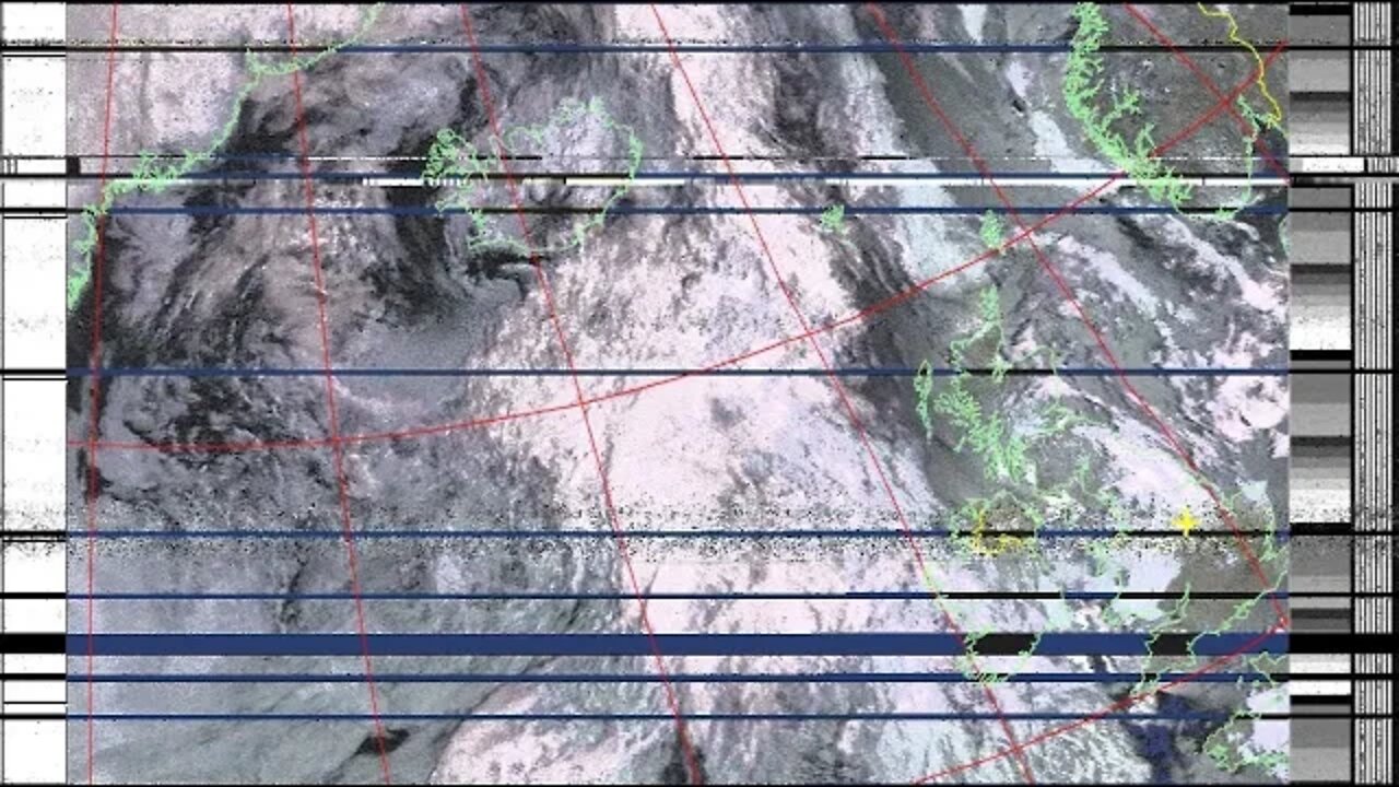
WxToImg to decode the downloaded audio files into images and overlay land and latitude/longitude grids and optionally colour the image in.
Satellite frequency and location tracking software GPredict, this will show when a satellite is approaching, control the SDR frequency and even auto-record multiple satellites.
http://www.tekmaker.co.uk/p/receiving-weather-satellites-on.html
-
 1:16:07
Man in America
9 hours agoOperation Gladio: The CIA, Mossad & City of London’s Plan for a New World Order
18.6K15 -
 2:11:41
Badlands Media
11 hours agoDEFCON ZERQ Ep. 016: Shadow Governments, Ancient Tech & the Spiritual War for Humanity
68.9K49 -
 2:09:24
Inverted World Live
5 hours agoRats Have Learned to Hunt Bats | Ep. 135
25.2K6 -
 2:48:01
TimcastIRL
6 hours agoLIVE Election Coverage: Polling Stations SWATTED, Bomb Threats Called In | Timcast IRL
232K166 -
 3:30:07
Barry Cunningham
6 hours agoBREAKING NEWS: COUNTDOWN TO COMMUNISM! ELECTION RESULTS SHOW!
48.1K40 -
 2:11:28
DeVory Darkins
5 hours agoLIVE NOW: 2025 Election results and Exit Polls AMA
57.9K42 -
 2:34:04
DLDAfterDark
4 hours ago $0.05 earnedJust Another Tuesday - In Virginia - The Governor's Race & Glock Talk
21.6K3 -
 3:21:38
The Charlie Kirk Show
7 hours agoJUDGMENT DAY 2025: The Election Results Stream
186K78 -
 3:51:07
MattMorseTV
8 hours ago $0.77 earned🔴Election Day LIVE COVERAGE.🔴
91.2K47 -
 1:16:51
Flyover Conservatives
1 day agoSHOCKING DATA REVEALS: Young Voters Are Done With the Old GOP - Mark Mitchell, Rasmussen Reports | FOC Show
37.1K16