Sassafras Mountain, SC -- Drone Footage
This is Sassafras Mountain (Sassy for short). It's the tallest point in South Carolina and actually straddles the NC/SC border. There is now a view platform on the top of the mountain which is easily accessible after a short 1/4 walk. It's an amazing place to watch a sunset!
Instagram: https://www.instagram.com/nevergrowbored
My Hiking Blog: https://nevergrowbored.blogspot.com
Twitter: https://twitter.com/seanhogan410
Google Maps: https://goo.gl/maps/3RzhH1QQqQL6jyHB9
Music Link: https://soundcloud.com/kasseo/wilderness-old-unfinished-track
Trail App I use: https://www.alltrails.com
Drone I Use: https://www.dji.com/mavic-air
Handheld Gimbal I Use: https://www.dji.com/osmo-pocket
My Hiking Gear:
Boots: t.ly/qC2f
Daypack: t.ly/e3TH
Backpack: t.ly/CUTP
3P Tent: t.ly/bz4h
2P Tent: t.ly/jUhy
Hammock: t.ly/iIRz
Shorts (non-jorts): t.ly/dbFq
Socks: t.ly/MnOX
Shades: t.ly/LWSH
-
 1:14
1:14
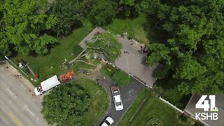
KSHB
2 years agoDrone footage
17 -
 1:22
1:22
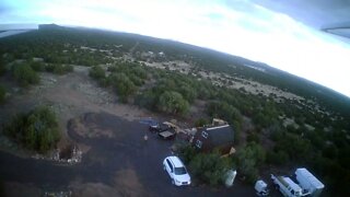
Ramble On
2 years agoBetter Drone Footage
8 -
 0:25
0:25
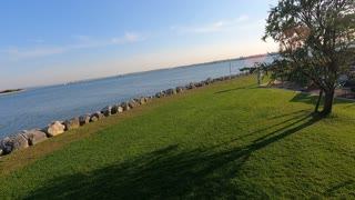
TheSouthernWoodsmanUk
2 years agoDrone footage. Waterside.
72 -
 0:54
0:54
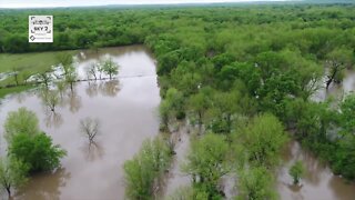
KJRH
2 years agoOkmulgee Drone Footage
3 -
 0:40
0:40
KJRH
2 years agoOkmulgee Drone Footage 2
3 -
 57:37
57:37
Patriots With Grit
1 day agoHow Voting Machines & Databases Are Compromised: How To Regain Honest Elections | Mark Cook
84.5K24 -
 1:18:53
Donald Trump Jr.
16 hours agoSecret Service Director is a Disgrace, Plus where is Joe Biden? | TRIGGERED Ep.158
272K884 -
 1:33:47
Michael Franzese
13 hours agoWhy they had to get Biden out ASAP | Emergency Sitdown
118K128 -
 2:25:22
WeAreChange
13 hours agoWHERE'S Joe Biden?? President Of The U.S. Goes MISSING As Doctors Ratchet Up Cover-up!
143K77 -
 1:56:24
2 MIKES LIVE
12 hours ago2 MIKES LIVE #94 DEEP DIVE MONDAY! Is This Democracy? with Special Guests J Michael Waller and Josh Baker
103K7