Hike from Panther Meadows to top of Gray Butte - Scenic Mt Shasta
1 year ago
26
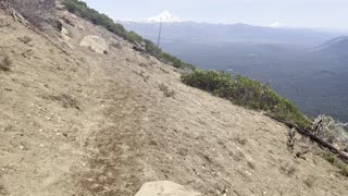
Hike from Panther Meadows on Mt Shasta (California, USA) to the top of Gray Butte at an elevation of 8119 feet above sea level. The elevation difference between Panther Meadows and Gray Butte summit is 750 feet. Length of the hike round-trip is 3.4 miles. The hike is of moderate difficulty and takes about 1 hour one-way, condensed down to 17 minutes in this video.
July 6, 2022
Beyond the story
Beyond belief
Dwells freedom
https://MountShastaSoundHealing.com
#NatureWalk #Volcano #GrayButte #ScenicMtShasta
Loading comments...
-
 25:22
25:22
Scenic Mt Shasta
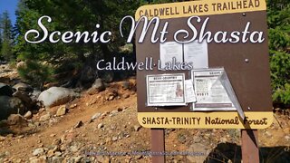
1 year ago $0.01 earnedCaldwell Lakes Trail - Scenic Mt Shasta
84 -
 11:58
11:58
Scenic Mt Shasta
1 year agoHeart Lake, part 2 - Scenic Mt Shasta
25 -
 9:32
9:32
1,000 Hikes in Southern California
4 months agoHike #35: Mt Yale & Mt Harvard, San Gabriel Mountains (Angeles NF), CA
182 -
 0:31
0:31
HikingViking
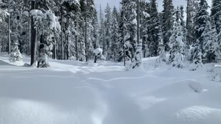
2 years agoHiking On Top of 3 - 5 Feet of Snow – Central Oregon – Vista Butte Sno-Park – 4K
23 -
 4:12
4:12
HikingViking
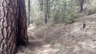
2 years agoHiking Steeply Up the Lower Forest Section – The Black Butte Trail – Central Oregon – 4K
18 -
 2:27
2:27
HikingViking
7 months agoWINTER SNOWSHOE 4K HIKING UP TO Vista Butte Summit w/ EPIC VIEWS of Mount Bachelor! | Central Oregon
66 -
 4:47
4:47
HikingViking
2 years agoHiking Through a Pine Forest – Black Butte Trail – Deschutes National Forest – Central Oregon – 4K
3 -
 1:20
1:20
HikingViking
2 years agoHiking the Steep Ridgeline – Black Butte Trail – Deschutes National Forest – Central Oregon – 4K
10 -
 10:05
10:05
1,000 Hikes in Southern California
5 months agoHike #15: Harrison Mountain, San Bernardino Mountains (San Bernardino NF), CA
11 -
 7:15
7:15
HikingViking
2 years agoHiking Down Gorgeous Deschutes National Forest – The Black Butte Trail – Central Oregon – 4K
5