Qinghai-Tibet Plateau
Qingzang Gaoyuan) is a vast, elevated plateau in Central Asia[1][2][3][4] covering most of the Tibet Autonomous Region and Qinghai Province in China and Ladakh in Kashmir, India. It occupies an area of around 1,000 by 2,500 kilometers, and has an average elevation of over 4,500 meters. Sometimes called "the roof of the world," it is the highest and biggest plateau, with an area of 2.5 million square kilometers (about four times the size of Texas or France).[5]
The plateau is bordered to the northwest by the Kunlun Range which separates it from the Tarim Basin, and to the northeast by the Qilian Range which separates the plateau from the Hexi Corridor and Gobi Desert. Near the south the plateau is transected by the Yarlung Tsangpo River valley which flows along the base of the Himalayas, and by the vast Indo-Gangetic Plain. To the east and southeast the plateau gives way to the forested gorge and ridge geography of the mountainous headwaters of the Salween, Mekong, and Yangtze rivers in western Sichuan and southwest Qinghai. In the west it is embraced by the curve of the rugged Karakoram range of northern Kashmir.
It has been empirically shown to be the most remote place on Earth.[7]
The Tibetan plateau has been an important strategic area throughout Chinese history.
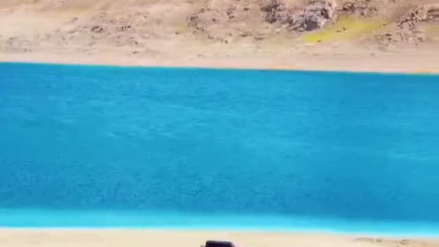
NASA satellite image of the southern area of Tibetan PlateauThe plateau is a high-altitude arid steppe interspersed with mountain ranges and large brackish lakes. Annual precipitation ranges from 100 mm to 300 mm and falls mainly as hailstorms. The southern and eastern edges of the steppe have grasslands which can sustainably support populations of nomadic herdsmen, although frost occurs for six months of the year. Permafrost occurs over extensive parts of the plateau. Proceeding to the north and northwest, the plateau becomes progressively higher, colder and drier, until reaching the remote Changthang region in the northwestern part of the plateau. Here the average altitude exceeds 5,000 meters (16,500 feet) and year-round temperatures average −4 °C, dipping to −40 °C in winter. As a result of this extremely inhospitable environment, the Changthang region (together with the adjoining Kekexili region) is the least populated region in Asia, and the third least populated area in the world after Antarctica and northern Greenland.
-
 1:03:17
Timcast
1 hour agoDemocrats IMPLODING, AOC HECKLED As Infighting Erupts Over Party FAILING
43.9K50 -
 LIVE
LIVE
Dr Disrespect
1 hour ago🔴LIVE - DR DISRESPECT - TARKOV ALL DAY
2,610 watching -
 1:57:59
Steven Crowder
4 hours ago🔴 Everything Wrong with Meet the Press' Trump Sandbag Interview
221K184 -
 LIVE
LIVE
Nerdrotic
4 hours agoWill Hollywood Get Trumped by Tariffs? | Disney Marvel COPE - Nerdrotic Nooner 484
952 watching -
 LIVE
LIVE
Simply Bitcoin
2 hours agoDonald Trump Sends A MASSIVE Bitcoin WARNING To The World! | EP 1237
397 watching -
 LIVE
LIVE
Rebel News
47 minutes agoTrump to meet Carney, Albertans identify as 'Alberta First', Canada falls in freedom | Rebel Roundup
641 watching -
 LIVE
LIVE
The Tom Renz Show
44 minutes agoSharia Law in Texas? & MAGA Rising
360 watching -

Grant Stinchfield
1 hour agoPresident Trump has a New Home for America;s Worst Offenders... Alcatraz!
1 -
 LIVE
LIVE
TheSaltyCracker
1 hour agoCinco Deporto SaltCast 5-05-25
4,367 watching -
 LIVE
LIVE
The Charlie Kirk Show
1 hour agoRepeal the Regulators + Real Education | Sen. Scott, Dr. Arnn | 5.5.25
4,530 watching