USGS Historical Topo Map Collection
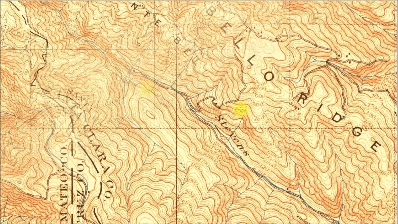
Using historical USGS topographic maps to look for signs of old roads in the Santa Cruz mountains.
I ran across these old maps a few years ago and they helped in identifying traces of old roads I was seeing along the modern hiking / mountain bike trails I ride. Initially, I would study the map on-line and see if I could identify things I was seeing on rides. Then I found I could load the maps into the AvenzaMaps app:
https://www.avenzamaps.com/
and later into GaiaG:
https://www.gaiagps.com/
to have them available off-line with my current location displayed. When I first got that working, it was mind blowing. Here I could be out in the mountains with an 1895 topo map, likely a wonder in it's day, and have live G tracking on that 125 year old map!
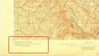
About the USGS HTMC:
https://www.usgs.gov/programs/national-geospatial-program/historical-topographic-maps-preserving-past
View/download maps on the TopoView site:
https://ngmdb.usgs.gov/topoview/
Section of single track Canyon Trail built in 1990:
https://www.trailcenter.org/newsletter/2000/winter2000/winter2000-19f.htm
More to come...
Subscribe for more content like this
Comment, rate, share & click the bell icon
And as always, thanks for watching
-
 8:05
8:05
4Crawler
3 years agoUSGS Historical Topo Maps: Who Made Them
46 -
 LIVE
LIVE
Playback Request Live
1 hour agoLevel Up: Our First Live Performance ft. Lady Desiree
94 watching -
 LIVE
LIVE
Blabs Games
33 minutes agoBig Bad Uno Plays | Noob Plays
35 watching -
 LIVE
LIVE
The Jimmy Dore Show
2 hours agoTrump Attacks His OWN Supporters As Democrat Dupes Over Epstein! Columbia University CAVES to Trump!
7,991 watching -
 1:25:13
Kim Iversen
3 hours agoColonel Macgregor: The Pentagon Has No Strategy, Only Targets
70.8K55 -
 12:32
12:32
JapaNomad - Video Tours
13 hours agoR35 GT-R POV Drive in Tokyo 🗼Shinjuku | Pure Car ASMR | No Music | No Voice | 4K HDR
3.18K2 -
 24:23
24:23
Jasmin Laine
4 hours ago“Trump Was RIGHT”—Carney CAVES, Then CBC Host Gets SLAPPED With Brutal Truth
3.85K12 -
 26:41
26:41
Fat Lip Collective
13 hours ago3D Printed Custom Dash | Best Materials for Car Parts (OEM+ Build)
3.83K1 -

LFA TV
23 hours agoLFA TV ALL DAY STREAM - WEDNESDAY 7/16/25
175K17 -
 1:40:41
Redacted News
4 hours agoTrump: "Epstein files are a HOAX!" White House does 180 on "release the Epstein Files" | Redacted
155K154