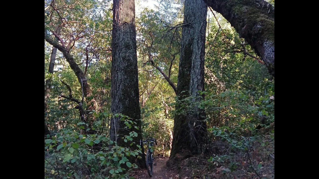
GeoCaching on Lower Table Mountain Trail
Trail located in Upper Stevens Creek County Park, west of Saratoga, CA.
https://www.sccgov.org/sites/parks/parkfinder/Pages/StevensCreek.aspx
This trail climbs out of the Stevens Creek canyon, along the east side of Branch C, up to the Table Mountain ridge. It then connects to Charcoal Road that climbs the rest of the way up to CA-35 and the Saratoga Gap Open Space Preserve.
Finally ticked off GeoCaches 199 and 200 on this ride.
The temperature inversion on this day was brutal. Ever 100 ft. of elevation gain saw a 1*F rise in temperature. Normally, it's 10-15*F cooler up in the mountains compared to the valley, but this day is was 15*F hotter.
More to come...
Subscribe for more content like this
Comment, rate, share & click the bell icon
And as always, thanks for watching
-
 6:14
6:14
PistonPop-TV
1 day agoThe VW 07K: The Indestructible Five-Cylinder with Lamborghini DNA
4.16K -
 11:40
11:40
ThinkStory
17 hours agoFRANKENSTEIN Ending Explained!
1.52K2 -
 33:05
33:05
ArturRehi
1 day ago1,000 Shahed Drones Explode at the same time in a BEHEMOTH FIREBALL in Donetsk
3.52K -
 15:36
15:36
JohnXSantos
1 day agoHow To Design A Luxury Clothing Brand With A.I (From 0-$100+)
1.91K -
 1:55:13
The Kevin Trudeau Show Limitless
3 days agoHow To Pray To Get Results!
4.38K5 -
 1:17:46
Squaring The Circle, A Randall Carlson Podcast
23 hours agoRandall Carlson Defines The Younger Dryas
3.33K4 -
 40:03
40:03
WanderingWithWine
7 days ago $0.07 earnedBuy a Home for Less Than a Car? 5 Italian Homes for Sale in Puglia
2.76K2 -
 10:09
10:09
Advanced Level Diagnostics
2 days agoWhy I Never Use Cheap Fuses!
1.71K -
 10:23
10:23
Forrest Galante
3 hours agoAsking an Indian Billionaire Why He Is Saving 1 Million Animals
59.1K13 -
 8:43
8:43
MattMorseTV
18 hours ago $45.55 earnedTrump CALLED Schumer’s BLUFF.
34.8K106