Mission Peak Ride - April 2021
It's been 3 years since I last did this ride, let's give it a try.
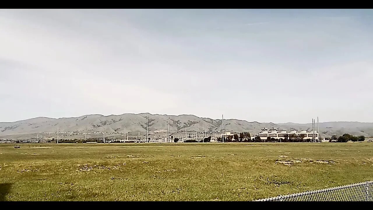
Ride total was 38.7 mi. / 62 km and 2139 ft. / 652 m elevation gain. It's about 17 mi. / 27 km of mostly flat bike paths and road to the start of the trail at Ohlone College. This time I stayed on the Coyote Creek Bike path and Fremont Blvd. on the west side of 880, then turning left on Warren Ave. crossing 880 and 680. I think this is better than my old route going up Dixon Landing Rd. and Warm Springs Blvd.
I think I underestimated the time needed for shooting video and navigating the paved part of the ride, so it was about 5PM when I hit the top of the ridge just below Mission Peak. The road was very rough coming up as the wet clay surface had been trampled by grazing cattle before it had a chance to dry. Then, there were many sections of road where copious amounts of new gravel had been spread. I think EBParks must take any left over gravel or ABC type fill they can get and dump it on the roads. This "gravel" is more like a mix of beach sand and crushed rocks. Until it's wet down by next winter's rains and packed by a years worth of use, it's going to be hard to ride. I had to push the bike uphill by walking on the grass beside the road as it was too slippery to even walk up. There was also a lot of fresh gravel on the descent down the Stanford entrance road and it was sketchy riding down 25% grades on the edge of traction!
Hopefully, I can get back up here this year, weather permitting.
Mission Peak:
https://www.ebparks.org/parks/mission/
East Bay Stone Walls:
https://en.wikipedia.org/wiki/East_Bay_Walls
Ride Elevation Profile:
https://photos.app.goo.gl/ma2UDEoLghcmNgHT6
More to come...
Subscribe for more content like this
Comment, rate, share & click the bell icon
And as always, thanks for watching
#GravelBike #MonsterCross #partypace
-
 LIVE
LIVE
RiftTV/Slightly Offensive
44 minutes agoElon For PRISON?! Poll Shows UNHINGED Leftists Want To Throw Musk BEHIND BARS | The Rift Report
325 watching -
 LIVE
LIVE
Jeff Ahern
46 minutes agoMonday Madness with Jeff Ahern
107 watching -
 26:30
26:30
Scary Mysteries
5 hours agoThese MYSTERIES Are So Creepy, They're Almost Forgotten
51 -
 LIVE
LIVE
SportsPicks
3 hours agoCrick's Corner: Episode 13
80 watching -
 1:33:31
Russell Brand
2 hours ago“COCAINE-TRAIN to UKRAINE!” What’s Going On With Macron, Starmer, Merz & THAT White Bag?! – SF581
195K35 -
 2:01:16
The Charlie Kirk Show
3 hours agoHigh Velocity News + The Peacemaker President + Tariff Economics | Sen. Scott, Plume | 5.12.25
65.4K13 -
 LIVE
LIVE
Nerdrotic
18 hours ago $2.20 earnedNerdrotic Nooner 486
650 watching -
 1:04:18
Timcast
3 hours agoDHS Threatens To ARREST Democrat House Members For ATTACKING ICE, Storming Facility
224K107 -
 2:06:53
Steven Crowder
6 hours ago🔴 BREAKING: Trump's China Trade Deal Explained: Winners, Losers, & What the Media isn't Telling You
439K195 -
 1:11:12
The Rubin Report
4 hours agoPress Gasps When Told Details of Trump Trade Deal They Said Was Impossible
75.6K40