Stevens Creek from the 2004 Bridge to the Landslide
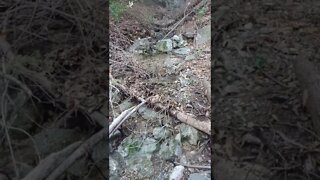
This is a section of creek that's mostly hidden from view from the trail. Hearing all the noise coming up from below as well as seeing all the slide activity I suspected this section might be quite spectacular. It was that and then some.
As it exists today, Stevens Canyon Road is paved up to the gate at 1000 ft. elevation. Beyond that, there's limited motor vehicle access along with hiking, biking and equestrian access. About half way to the end, there's a slide area that's taken out the old road, blocking motor vehicle access.
I wanted to hike up the creek from the spur road on the north side of the creek and see if I could connect up with where I hiked down last October. There's signs of an old road or path along the creek in sections, perhaps dating back the the 1890's dates on some of the old houses/cabins that used to be present in this area. It seems that the 40 acre parcel was acquired in 2004/5 and the ~11 acre parcel in 2013, both from the same family trust:
https://www.openspace.org/sites/default/files/CGI-B/agendas_minutes/2014.07.23_Lobner_AwardofContract_Demolition_r-14-97.pdf
Reaching the area of the landslide, the canyon completely changes. There's countless guardrail posts and lots of twisted up metal that came down in slides over the years. In some areas, it looks like the slide is still slowly moving, with the creek carrying away material and exposing fresh material. This would not be a safe area to be after a period of extended heavy rain, like we had in 2017. That was the past time I think the slide was active.
Reaching the lower wrecked car, I was high up on the north bank of the canyon to get around debris blocking the channel. I stayed on the north side and worked my way up to my stopping point in October. Unfortunately, with the current water flow, there's no waterfall here as I guessed there might be. It may be that the heavy rains we had in late Oct. and Dec. washed away enough material that the creek can now flow under the debris.
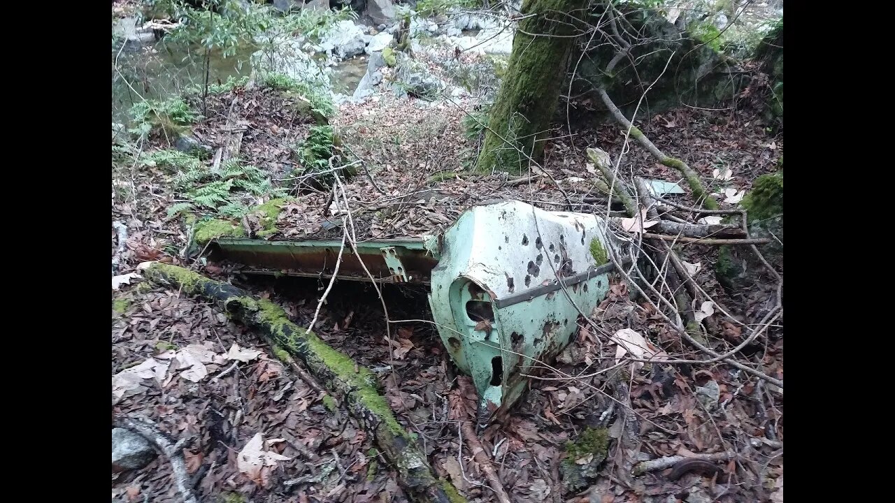
Crossing over to the south side, I made my way back to the exist point. Right next to the larger waterfall, I found a 3rd wrecked car. Not much left of this one, just the rear half up to the fin on the tail lights. If anyone has any ideas on the make/model/year of this wrecked car, feel free to post that in the comment section below, I'll add my guess as well.
As it was getting late in the day, I climbed up out of the canyon on the faint user trail I'd found the week before. Having that easy to find exit point is a great asset. Otherwise, it would have been a 45 minute scramble to get back down stream and it would have been after sunset when I got out of the creek.
Paper: ENVIRONMENTAL GEOLOGIC ANALYSIS OF THE MONTEBELLO RIDGE MOUNTA STUDY AREA:
https://openlibrary.org/works/OL6891657W/Environmental_geologic_analysis_of_the_Monte_Bello_Ridge_mountain_study_area_Santa_Clara_County_Cali#editions-list
Pg. 22 mentions a landslide possibly associated with the 1906 earthquake that may be the one visible today.
More to come...
Subscribe for more content like this
Comment, rate, share & click the bell icon
And as always, thanks for watching
-
 13:33
13:33
4Crawler
3 years agoStevens Creek Canyon: Above the Landslide
13 -
 6:21
6:21
4Crawler
3 years agoStevens Creek Road, A Landslide and a Wrecked Car
22 -
 37:49
37:49
JohnGabrielHalley
3 years agoGreenville Creek 3 - Bridge to Gettysburg
9 -
 1:39
1:39
KJRH
3 years agoTulsa reopens Crow Creek Bridge, clearing Brookside traffic
3 -
 34:13
34:13
JohnGabrielHalley
3 years agoGreenville Creek 2 Bears Mill to Bridge
5 -
 0:15
0:15
4Crawler
3 years agoUnnamed Tributary of Stevens Creek
2 -
 7:32
7:32
4Crawler
3 years agoStevens Creek / Grizzly Flat Crossing
14 -
 0:29
0:29
Coldfreeze
3 years agoBear Creek Lake by the Bridge In winter
15 -
 0:20
0:20
4Crawler
3 years agoLarger waterfall in Stevens Creek
2 -
 2:10
2:10
KSHB
3 years agoFunding from infrastructure bill could enhance Brush Creek Park bridge
4