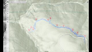
Grizzly Flat North Trail / Middle Road: 2nd Visit
Short stop on a bike ride to check out an old road I saw near the middle of the Grizzly Flat / North Trail in Upper Stevens Creek County Park. Wanted to see where it went and if it may have connected down to the end of the 1897 road at the end of Stevens Creek Branch D.
This road doesn't appear on any maps. It looks like it may been constructed around the same time as the Grizzly Flat road. Grizzly Flat North Road first appears on the 1961 USGS topo map.
There appear to be at least 3 roads that come together at the bottom of the Branch D canyon. 2 of them seem to be quite old based on their minimal construction. Then this road seems more modern in terms of wider radius turns and that it joins up to an existing road. But then the question is, what was this built road for? Were the 2 older roads in the canyon still in use when this road was built? If not, then why did this road go down to the same area that the 2 old roads seem to meet up in? Maybe this road was abandoned when the county acquired this land for the county park in 1965.
About the USGS HTMC:
https://www.usgs.gov/programs/national-geospatial-program/historical-topographic-maps-preserving-past
View/download maps on the TopoView site:
https://ngmdb.usgs.gov/topoview/
I used the 1897 Palo Alto quadrangle or the 1900 historical topo as listed in GaiaG:
https://www.gaiagps.com/
More to come...
Subscribe for more content like this
Comment, rate, share & click the bell icon
And as always, thanks for watching
#USGS #HillShade
-
 7:31
7:31
4Crawler
2 years agoGrizzly Flat North Trail / Middle Road: 3rd Visit
18 -
 9:54
9:54
4Crawler
2 years agoGrizzly Flat North Trail / What's at the Bottom of the Middle Road?
11 -
 10:55
10:55
The Brown Family Workshop
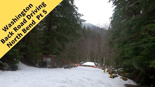
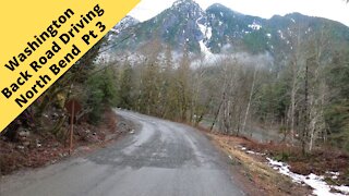
3 years agoBackroad Driving North Bend Washington pt 5
19 -
 10:46
10:46
The Brown Family Workshop
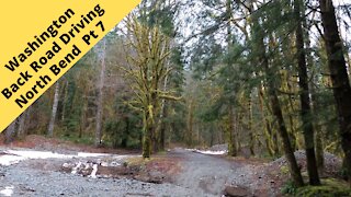
3 years agoBackroad Driving North Bend Washington pt 7
40 -
 8:51
8:51
The Brown Family Workshop
3 years agoBackroad Driving North Bend Washington pt 6
25 -
 3:33
3:33
MTB GO
1 year agoMTB - High Bridge Bike Park NJ - Green Trail - Trek Marlin 5 and Polygon Siskiu T7
42 -
 10:47
10:47
The Brown Family Workshop
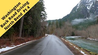
3 years agoBackroad Driving North Bend Washington pt 4
18 -
 18:51
18:51
HikingViking
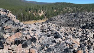
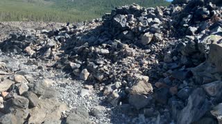
2 years agoCentral Oregon – Newberry Volcanic National Monument – Big Obsidian Flow Trail – FULL
41 -
 0:14
0:14
HikingViking
2 years agoCentral Oregon – Newberry Volcanic National Monument – Obsidian Laden Trail – 4K
191 -
 10:52
10:52
The Brown Family Workshop
3 years agoBackroad Driving North Bend Washington pt 3
53