Trail Along Waterwheel Creek
Just like the creek, you won't find this trail on any map either.
This trail is brutally steep, many sections above 50% gradient. Up to the grove of trees I stopped at, I traveled 2100 ft. and gained 700 ft. of elevation or 33% average gradient. It looks to be another 0.25 mile and 300 ft. of climbing to get to the official Waterwheel Creek Trail. If you did this same trip down the Canyon trail, Stevens Creek and Montebello Roads, you're looking at close to 10 miles. Or you could go up the Canyon Trail, then up the Indian Creek Trail and back down Montebello Road which is around 5 miles. So this faint user trail makes an interesting way to efficiently access this area.
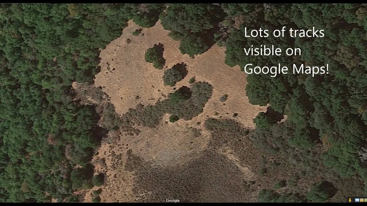
Interesting point, after using historic topo maps and the new LIDAR based hillshade maps to find old roads and trails, this one was found using good old fashioned "looking for signs on the ground" technique.
Geologic Analysis Of The Monte Bello Ridge Mountain Study Area paper:
https://fbdroch.com/book/environmental-geologic-analysis-of-the-monte-bello-ridge-mountain-study-area-santa-clara-county-california
From that paper:
"TECTONIC BLOCKS - Large angular to rounded, commonly elliptically shaped masses of relatively hard rocks surrounded by a clay-rich, sheared matrix. Occurs within shear zones and fault gouge. In the shear zones of the Franciscan rocks, these blocks range from "fist size" to masses more than one mile long."
USGS National Map Viewer w/ Hill Shade:
https://apps.nationalmap.gov/viewer/
About the USGS HTMC:
https://www.usgs.gov/programs/national-geospatial-program/historical-topographic-maps-preserving-past
View/download maps on the TopoView site:
https://ngmdb.usgs.gov/topoview/
More to come...
Subscribe for more content like this
Comment, rate, share & click the bell icon
And as always, thanks for watching
#USGS #HillShade
-
 DVR
DVR
Times Now World
3 hours agoLIVE: NATO Chief Demands 5% of GDP for War Chest! Mark’s Bold Plan for Allies at IISS Prague Defence
251 -
 LIVE
LIVE
LFA TV
2 hours agoLFA TV ALL DAY STREAM - THURSDAY 9/4/25
7,433 watching -
 1:16:35
JULIE GREEN MINISTRIES
2 hours agoLIVE WITH JULIE
29.9K88 -
 LIVE
LIVE
Welcome to the Rebellion Podcast
12 hours agoDon3po is Live - WTTR Podcast Live 9/4
202 watching -
 13:43
13:43
The Kevin Trudeau Show Limitless
23 hours agoClassified File 3 | Kevin Trudeau EXPOSES Secret Society Brainwave Training
44.5K9 -
 LIVE
LIVE
The Chris Salcedo Show
13 hours agoAmericans Are Tired Of Leftists & Fake-GOP Who Cater To Them
532 watching -
 1:12:23
Game On!
20 hours ago $0.96 earnedFootball IS BACK! Cowboys vs Eagles Opening Night Kickoff!
7.32K1 -
 LIVE
LIVE
The Bubba Army
23 hours ago#1 Documentary IN THE WORLD! - Bubba the Love Sponge® Show | 9/04/25
1,582 watching -
 39:31
39:31
Her Patriot Voice
14 hours ago $1.84 earnedBlack Conservative Surrounded + ROBBED By Leftists!
11.2K25 -
 13:25
13:25
The Gun Collective
15 hours agoWOW! A LOT of new GUNS just dropped!
12.7K8