Scouting Access to the Old 1897 Stevens Canyon Road: Beyond Grizzly Flat Trail
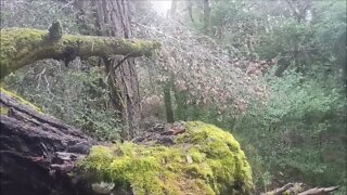
The USGS Hill Shade map shows the old Stevens Canyon Road continuing beyond the location of where the 1897 historical topo map showed. Figuring out how to access that area is the topic of the next videos.
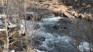
I had always seen what looked like an old road on the far side of the canyon when dropping down the stream crossing on the Grizzly Flat Trail. This road continues up past where I got to in this video. Three plans of attack are:
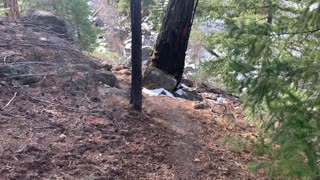
1. Climb over the downed trees that stopped me in the earlier video.
2. Climb down from the lower end of Grizzly Flat trail.
3. Then there's some old roads I've seen dropping down off higher up Grizzly Flat Trail that seem to be heading into the same canyon as this portion of the road is heading up.
It's hard to be certain of any of this as the old and new maps seem to be very inaccurate in this area. They show the Branch D canyon starting about 0.1 miles further upstream from this location. I think the modern maps make use of much of the topographic information on the older maps and thus if the old map was off, then new map is off as well.
In the next video, we'll drop down off the edge of the Grizzly Flat trail and see if there's a way down the side of the canyon as the hill shade map hints there might be.
About the USGS HTMC:
https://www.usgs.gov/programs/national-geospatial-program/historical-topographic-maps-preserving-past
View/download maps on the TopoView site:
https://ngmdb.usgs.gov/topoview/
I used the 1895 Palo Alto quadrangle or the 1900 historical topo as listed in GaiaG:
https://www.gaiagps.com/
More to come...
Subscribe for more content like this
Comment, rate, share & click the bell icon
And as always, thanks for watching
-
 7:31
7:31
4Crawler
2 years agoOld 1895 Stevens Canyon Road: Beyond Grizzly Flat Trail
76 -
 4:27
4:27
4Crawler
2 years agoOld 1895 Stevens Canyon Road - Along the Grizzly Flat Trail
2 -
 0:43
0:43
HikingViking
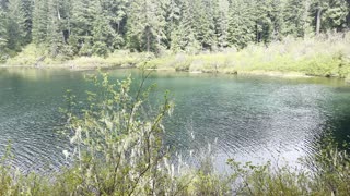
2 years agoTraversing the Rugged Canyon – Whychus Creek – Central Oregon
36 -
 6:58
6:58
HikingViking
4 months agoFULL HIKE ALTERNATE ROUTE to Dry Creek Falls! | 4K Columbia River Gorge National Scenic Area Oregon
98 -
 9:19
9:19
RottenDawgEntertainment
3 years agoOld Robe Canyon Trail Hike-Granite Falls, WA
158 -
 1:44
1:44
HikingViking
2 years agoHiking Towards a Viewpoint Area Along Clear Lake Loop – Willamette National Forest – 4K
84 -
 29:46
29:46
NotARubicon Productions
4 years agoEasy Off Roading in Southern California: Old Dale Road - Full Trail Review
14 -
 0:38
0:38
HikingViking
2 years agoOregon – Mount Hood – Hiking across Little Zig Zag Canyon
32 -
 3:03
3:03
HikingViking
2 years agoHiking Steep Old Growth Rainforest Salmon River Trail – Mount Hood – 4K
392 -
 0:54
0:54
HikingViking
2 years agoSnow Hiking Beside Roaring Whychus Creek Canyon – Central Oregon
9