Exploring the Upper Road on the Grizzly Flat / North Trail
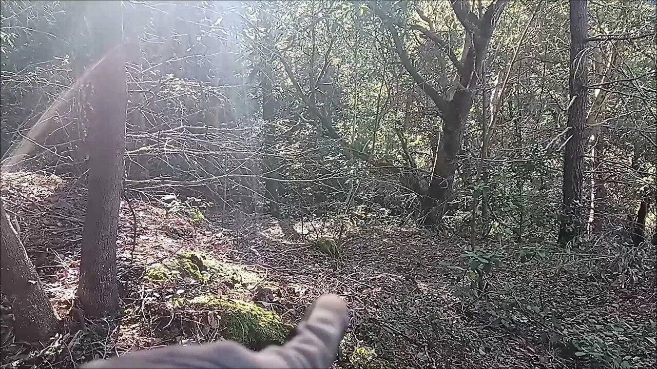
Came out on foot to check out an old road I saw near the top of the Grizzly Flat / North Trail in Upper Stevens Creek County Park. Wanted to see where it went and if it may have connected down to the end of the 1895 road at the end of Stevens Creek Branch D.
This old road didn't go very far down the canyon, in fact is ends a few hundred feet vertically below the modern trail head. Not sure the purpose of this road, there's a platform that was built at the end. If it was a log skidding operation, it must have been a chore to back log trucks down the narrow road since there's no place to turn a truck around at the end. This road doesn't appear on any maps. It looks like it may been constructed around the same time as the Grizzly Flat road. Grizzly Flat North Road first appears on the 1961 USGS topo map.
About the USGS HTMC:
https://www.usgs.gov/programs/national-geospatial-program/historical-topographic-maps-preserving-past
View/download maps on the TopoView site:
https://ngmdb.usgs.gov/topoview/
I used the 1895 Palo Alto quadrangle or the 1900 historical topo as listed in GaiaGPS:
https://www.gaiagps.com/
More to come...
Subscribe for more content like this
Comment, rate, share & click the bell icon
And as always, thanks for watching
-
 20:05
20:05
Preston Stewart
11 hours agoCrimea Raid to Chasiv Yar Fight
202 -
 8:11
8:11
Millionaire Mentor
13 hours agoTulsi Gabbard and Leavitt DOUBLE-TEAM Kaitlan Collins in FIERY Exchange
411 -
 46:02
46:02
Coin Stories with Natalie Brunell
1 day agoWhat They’re Hiding About the Economy | Natalie Brunell with Danielle DiMartino Booth
10.3K5 -
 12:12
12:12
GritsGG
12 hours ago23 Warzone Wins in a Row! (Cypher AR)
73.7K -
 2:12:07
Side Scrollers Podcast
19 hours agoCULTURE SHIFT CAUSES MELTDOWNS + MASSIVE CENSORSHIP EFFORTS RAMP UP | SIDE SCROLLERS LIVE
13.2K5 -
 11:25
11:25
Nikko Ortiz
1 day agoMost Painful Fails
48.4K28 -
 43:55
43:55
pewculture
6 days ago $3.57 earnedIf the Purge was real, this is what we'd do... - EP#24
11.4K5 -
 8:14
8:14
MattMorseTV
1 day ago $10.29 earnedTrump just DROPPED the HAMMER.
57.6K68 -
 LIVE
LIVE
Lofi Girl
2 years agoSynthwave Radio 🌌 - beats to chill/game to
303 watching -
 22:39
22:39
BlabberingCollector
10 hours agoThe Alphabet Mafia Is Mad At JK Rowling AGAIN
19.9K3