Topografía con Drones
3 years ago
7
Ir al Curso: https://go.hotmart.com/T73096188K?dp=1
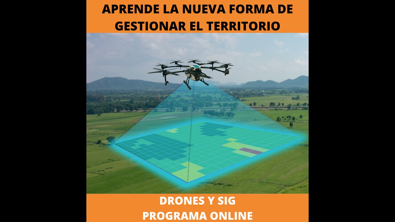
Con un drone, los topógrafos pueden capturar muchos más puntos de datos topográficos, por lo tanto, mediciones de volumen más precisas. También pueden hacer esto de una manera mucho más segura que si tuvieran que capturar manualmente los datos subiendo y bajando una pila de almacenamiento.
https://go.hotmart.com/T73096188K
Loading comments...
-
 34:54
34:54
MattMorseTV
8 hours ago $4.88 earned🔴Trump just FIRED 154,000 FEDERAL WORKERS. 🔴
6.42K23 -
 2:03:32
Side Scrollers Podcast
16 hours agoMASSIVE Netflix Boycott + The TRUTH About Jimmy Kimmel’s Return + BIG Side Scrollers NEWS
16.5K5 -
 15:05
15:05
GritsGG
1 day agoFlawless Duos Victory w/ Most Winning Duo in Warzone History!
95 -
 1:53:52
FreshandFit
13 hours agoShe Was In 3 Domestic Violence Cases? Happy Birthday Fresh!!!
118K41 -
 2:03:22
Inverted World Live
5 hours agoThe Aliens Are Underwater | Ep. 117
47.5K17 -
 2:20:24
Badlands Media
13 hours agoDevolution Power Hour Ep. 394: The Long Game, Media Traps, and Military Signals
68.7K18 -
 2:08:38
TimcastIRL
7 hours agoNetflix Shares TANK, Elon Says BOYCOTT After Writer MOCKS Charlie Kirk Assassination
207K159 -
 8:48:01
SpartakusLIVE
9 hours agoI'M BACK || Quads w/ The Boys
73.1K4 -
 9:33
9:33
Ken LaCorte: Elephants in Rooms
12 hours ago $2.42 earnedWhy Do Black Men Love Big Butts?
23K12 -
 2:12
2:12
From Zero → Viral with AI
1 day ago $4.36 earned🚀 AI Marketing Isn’t Just for Big Brands Anymore — Here’s Why
36K10