Premium Only Content

Champlain Canal Waterway Mess - Shine Hill Watershed FLOODS Route 196 due to WRONG ROAD CULVERT SIZE
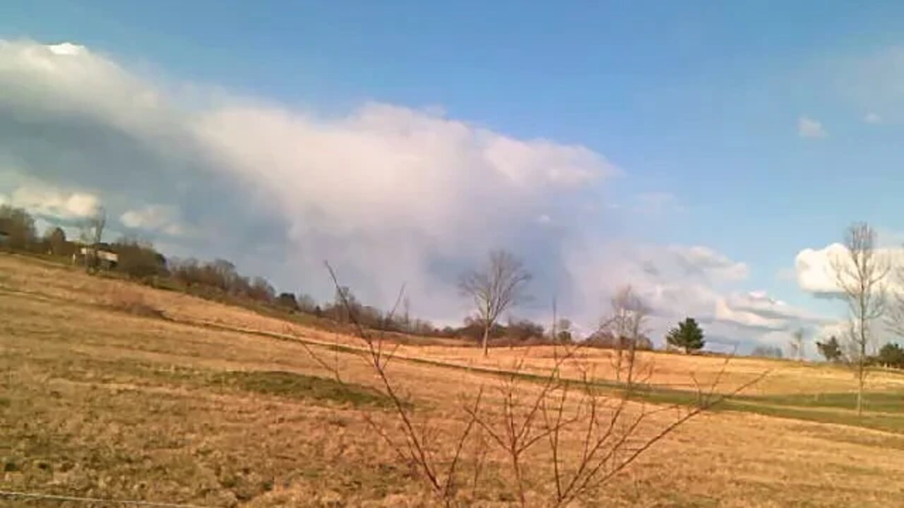
Farm Property South Border looking at neighbors 100 acres of Hay Fields, Woods & SEVERE FLOODING causing loss of Hay Field acreage along Route 196. All the Watershed on South Fields on South side of Shine Hill Road also FLOWS UNDER ROUTE 196. All Walker Crop Fields watershed on McDougall Road to Smith Road junction FLOWS UNDER Shine Hill "NEW BIG CULVERT" and ALSO FLOWS UNDER ROUTE 196. Google Earth "Farm Restoration" project for a closer look if interested:
https://drive.google.com/open?id=1OSrz9aM8FNfNAfxnrQ_NJdWQspZDykVW&usp=sharing
This video is one of many short videos along the ditch from Pond to Route 196 recorded April 16, 2020. All videos of entire walk are in Playlist - https://www.youtube.com/playlist?list=PL3hmu50LjeIQzdGaJO079QRmMeUr2cI-h
Champlain Canal Map. This water source (waterway) is listed:
http://www.canals.ny.gov/maps/
-
 2:07:22
Inverted World Live
10 hours agoGiant Asteroid Skims Past Earth Today | Ep. 102
47.1K5 -
 3:11:00
TimcastIRL
7 hours agoTrump Kills 11 Narco Terrorists, Democrats Warn War With Venezuela Coming | Timcast IRL
179K192 -
 13:07
13:07
Robbi On The Record
3 days ago $6.27 earnedSweet Poison: The Big Fat Lie That’s Killing America
52.1K26 -
 5:35:49
Drew Hernandez
12 hours agoEPSTEIN VICTIMS SPEAK OUT & TRUMP DOUBLES DOWN
46.9K37 -
 1:36:41
FreshandFit
8 hours agoWe Are QUITTING YouTube...
63.6K51 -
 2:34:22
TheSaltyCracker
8 hours agoDrug Smugglers Blown Up 9-03-25
107K211 -
 3:12:59
VapinGamers
7 hours ago $1.81 earnedGrim Trials - Game Review/Playthru - Rougelight Dungeon Crawler - !rumbot !music
34.4K -
 2:47:55
Mally_Mouse
14 hours ago🎮 Let's Play!! -- Jak 2 pt. 16
64.7K2 -
 52:23
52:23
MattMorseTV
9 hours ago $19.80 earned🔴The Cartels are SCREWED.🔴
125K135 -
 1:32:46
Badlands Media
22 hours agoAltered State S3 Ep. 44: Epstein Files, Corrupt Judges, and the College Grift
61.9K3