Gino Recchia NBC26 Weather Forecast
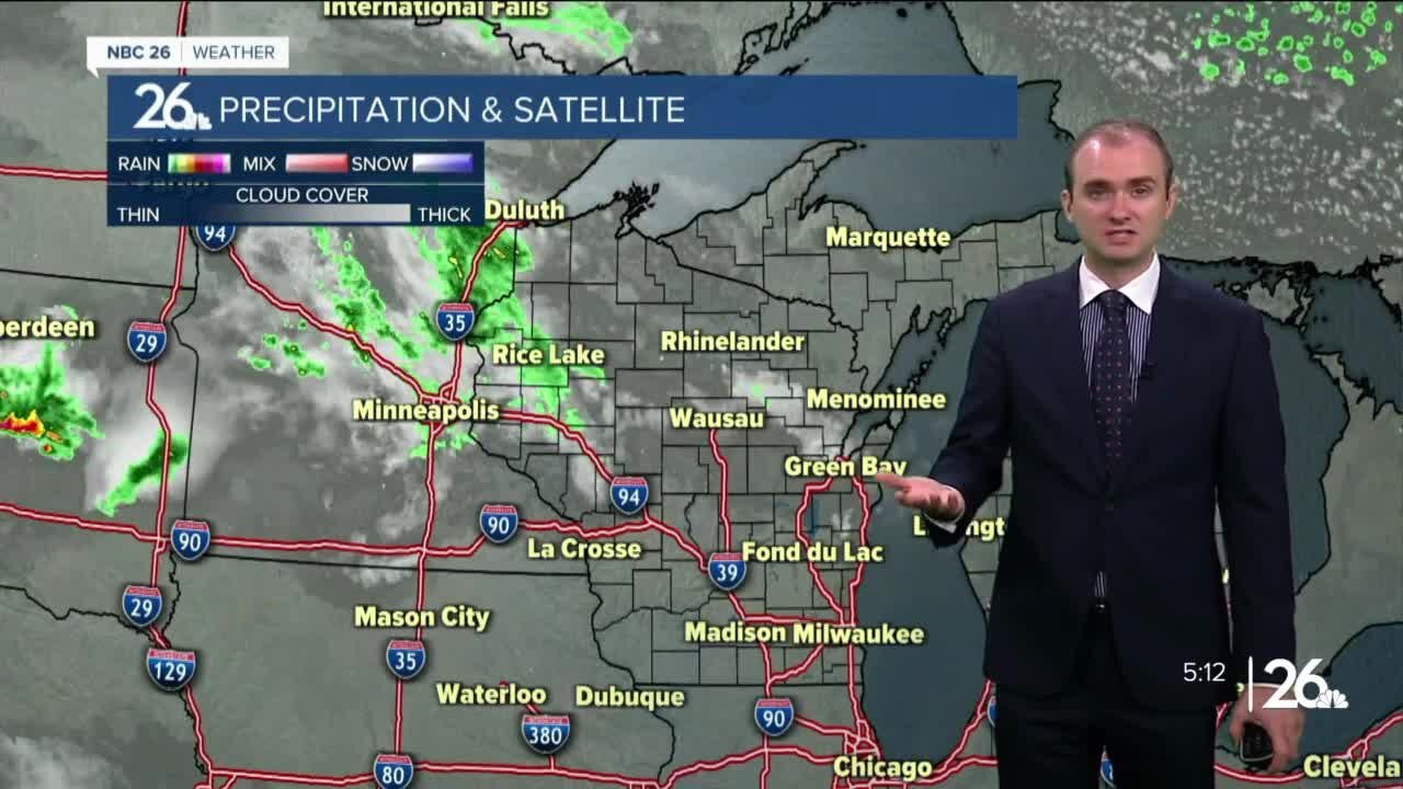
An isolated shower or storm is possible tonight, mainly north of Highway 29. Temperatures will fall into the lower to mid 60s. It's going to get very warm Monday with highs in the mid to upper 80s away form Lake Michigan. There will also be another risk of showers and thunderstorms across Northeast Wisconsin, some of which may be severe with hail and gusty winds. A better chance of severe weather will be across southern Wisconsin. Another chance of showers and storms will be possible on Tuesday as well as several other days this week as a ring of fire pattern develops across the Midwest. With the Jet Stream running across Wisconsin, this will set up a pattern for several disturbances to track across bringing periodic rounds of thunderstorms. Temperatures besides Monday should remain in the lower 80
-
 1:45
1:45
WGBA
1 year agoStudents excited to start at "huge and beautiful" Vel Phillips Middle School
364 -
 2:22:49
Robert Gouveia
4 hours agoArrest Gavin Newsom?? Insurrection Act! Mexico's Reconquista! Deportation Hearing!
20.1K29 -
 LIVE
LIVE
House of Jacobs
1 hour agoElden Ring NightReign Zero Skill, Full Send
24 watching -
 LIVE
LIVE
Fragniac
2 hours ago🔴 SPLITGATE 2 *NEW* BATTLE ROYALE w/ The @BrrrapPack ❗
65 watching -
 53:24
53:24
The Daily Signal
2 hours ago $0.27 earned🚨 BREAKING: Democrats Call for Nationwide Mobilization, U.S. Marines Deployed to Los Angeles
10.2K1 -
 27:43
27:43
Scary Mysteries
11 hours agoColorado’s 5 DARKEST Mysteries
3.74K2 -
 1:39:04
LIVE WITH CHRIS'WORLD
7 hours agoLIVE WITH CHRIS’WORLD - California is HELL On Earth | Americas Reaction
4.8K3 -
 49:24
49:24
Patriots With Grit
2 hours agoTrump's Hitman? | Vem Miller
4.18K2 -
 1:24:55
Alternatively - Formerly Conspiracy Pilled
5 hours agoLuke Part 2: Wilderness Training
12.8K1 -
 LIVE
LIVE
Spartan
3 hours agoPro Halo Player
14 watching