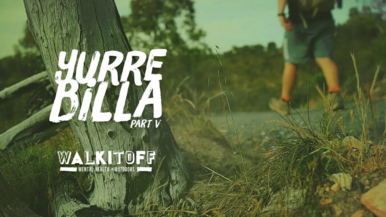
Solo Hiking the Yurrebilla Trail - Part V
#hiking #adelaidehikers #australia
13.8km (one-way)
Elevation: 105m - 489m
Incline: MAX: 76% AVG: 10%
Morialta to Ambers Gully, South Australia.
Map Link: https://bit.ly/35U3mxy
• The Yurrebilla Trail is a "great hits" of Hiking in the Adelaide Hills stretching 50+ km from Belair to Ambers Gully.
• Today we are hiking Section 5 which starts in The Morialta Conservation Park, which is just to the east of Adelaide.
• Trail Head is at Deep View Lookout at the top of the cliff-side of Morialta Falls, which has toilets and car parking at the bottom.
• The trail has a lot of varying surfaces so be mindful of footing.
• The track has many great photographic opportunities with great views of the city throughout.
“Not the world, not what’s outside of us, but what we hold inside traps us. We may not be responsible for the world that created our minds, but we can take responsibility for the mind with which we create our world."
― Gabor Maté, In the Realm of Hungry Ghosts
Map Sequence Satellite Data
© Copyright 2020 Microsoft Corporation / © 2020 Maxar / © CNES (2020) Distribution Airbus DS
Music
1. Leaving - Silent Partner
2. Role Player - Au.Ra
walkitoff.com.au
facebook.com/walkitoffmentalhealthoutdoors
instagram.com/walkitoffmentalhealthoutdoors
nathan.walkitoff@gmail.com
also check out:
imageiseverything.net.au
Thanks for watching!
-
 1:11:38
Film Threat
4 hours agoCHRISTMAS DAY CHILL STREAM WITH CHRIS GORE | Hollywood on the Rocks
31.4K15 -
 LIVE
LIVE
The Quartering
22 hours agoYule Log Christmas MAGA Edition With Memes! Come Hang Out!
1,497 watching -
 38:41
38:41
MYLUNCHBREAK CHANNEL PAGE
1 day agoTimeline Begins in 1800? - Pt 1 & 2
36.5K30 -
 1:23:41
Game On!
22 hours ago $8.98 earnedNetflix NFL Christmas Games Preview and Predictions!
51.5K9 -
 2:05:07
Darkhorse Podcast
1 day agoWhy Trump Wants Greenland: The 257th Evolutionary Lens with Bret Weinstein and Heather Heying
285K452 -
 8:50:58
Right Side Broadcasting Network
1 day ago🎅 LIVE: Tracking Santa on Christmas Eve 2024 NORAD Santa Tracker 🎅
329K46 -
 2:48
2:48
Steven Crowder
1 day agoCROWDER CLASSICS: What’s This? | Nightmare Before Kwanzaa (Nightmare Before Christmas Parody)
309K12 -
 33:49
33:49
Quite Frankly
1 day agoThe Christmas Eve Midnight Telethon
113K22 -
 2:12:46
Price of Reason
1 day agoAmber Heard BACKS Blake Lively Lawsuit Against Justin Baldoni! Is Disney CEO Bob Iger in TROUBLE?
65.1K24 -
 1:01:17
The StoneZONE with Roger Stone
19 hours agoChristmas Edition: Why the Panama Canal is Part of the America First Agenda | The StoneZONE
135K49