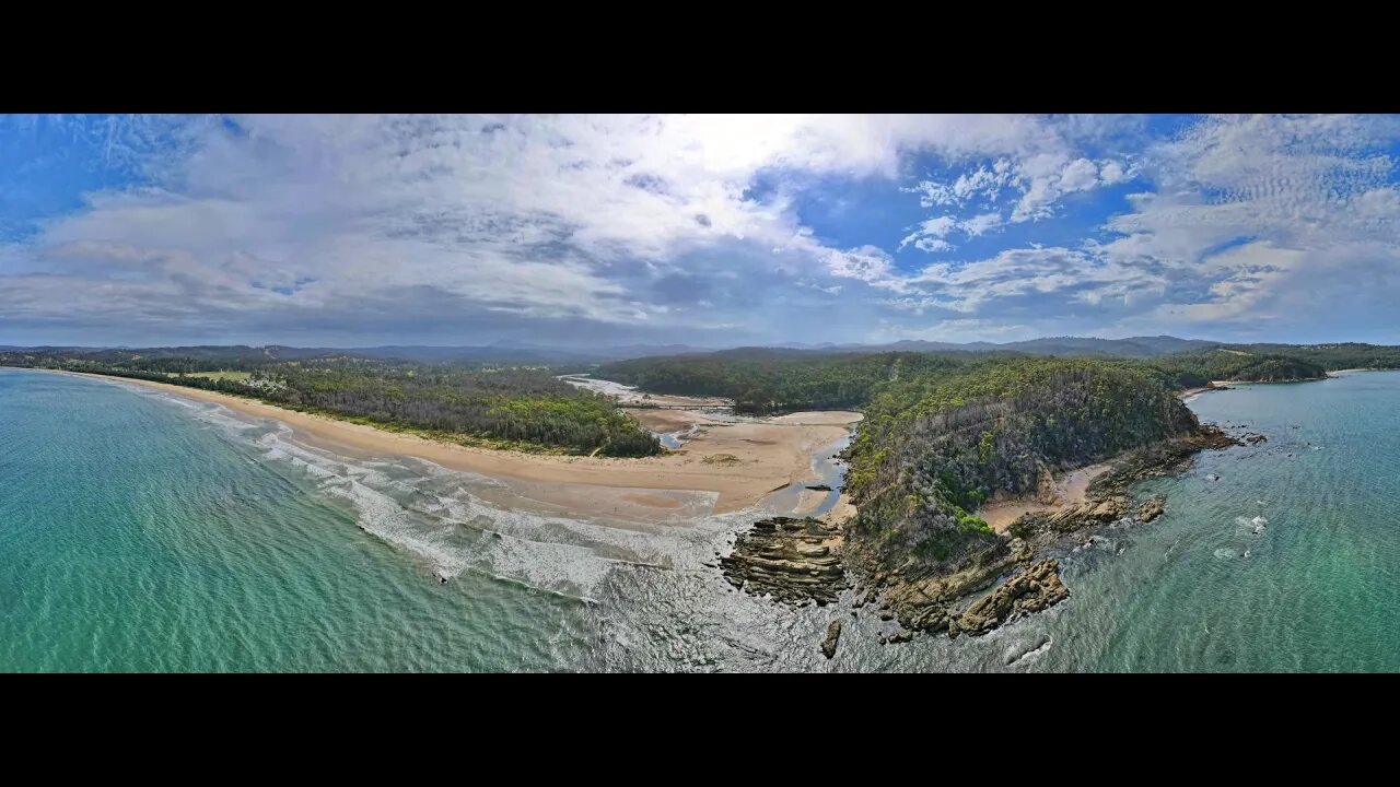
Nullica River & Beach 12 Jan 2021 near Eden Drone fly around
The Nullica River rises below Nullica Hill within Nullica State Forest, approximately 11 kilometres west of Eden, The river flows generally east southeast, joined by one minor tributary, before reaching its mouth and emptying into Nullica Bay, within Twofold Bay, and spilling into the Tasman Sea of the South Pacific Ocean, east of Nullica. The river descends 137 metres over its 11 kilometres course The catchment area of the river is 55 square kilometres with a volume of 176 megalitres over a surface area of 0.3 square kilometres, at an average depth of 0.6 metres. West of the river's mouth, the Princes Highway crosses the Nullica River. FROM WikiPedia.#mallacootaholidays #loveeastgipsland #mallacoota2020 #lovemallacoota © mallacoota2020.com.au #loveeden
-
 4:49
4:49
Mallacoota 2020 videos
3 years ago $0.01 earnedBetka River 12 December 2021 drone fly around
7 -
 8:27
8:27
Mallacoota 2020 videos
3 years agoBetka River and Beach 3 December 2021 by drone
6 -
 1:04
1:04
My Life
3 years agoDrone Show Coogee Beach 2021
31 -
 6:16
6:16
Mallacoota 2020 videos
4 years agoBetka River Mouth 2nd July 2021 6 minute drone fly around
1 -
 0:36
0:36
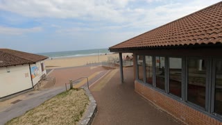
TheSouthernWoodsmanUk
3 years agoDrone footage. Bournemouth beach.
9 -
 LIVE
LIVE
Chad Prather
12 hours agoBorn in the Fire: Spirit Filled Truth, Repentance, and Revival
8,847 watching -
 LIVE
LIVE
LFA TV
14 hours agoLIVE & BREAKING NEWS! | MONDAY 11/17/25
3,246 watching -
 LIVE
LIVE
Game On!
15 hours agoNFL Week 11 RECAP And MNF Best Bets!
495 watching -
 14:01
14:01
Demons Row
12 hours ago $3.64 earnedRobert Patrick EXPOSES the Truth About Motorcycle Clubs and Gangs
29.5K5 -
 26:11
26:11
Athlete & Artist Show
16 hours ago $0.22 earnedWho Will Make Team Canada + Finland IIHF Controversy
9.14K1