Premium Only Content
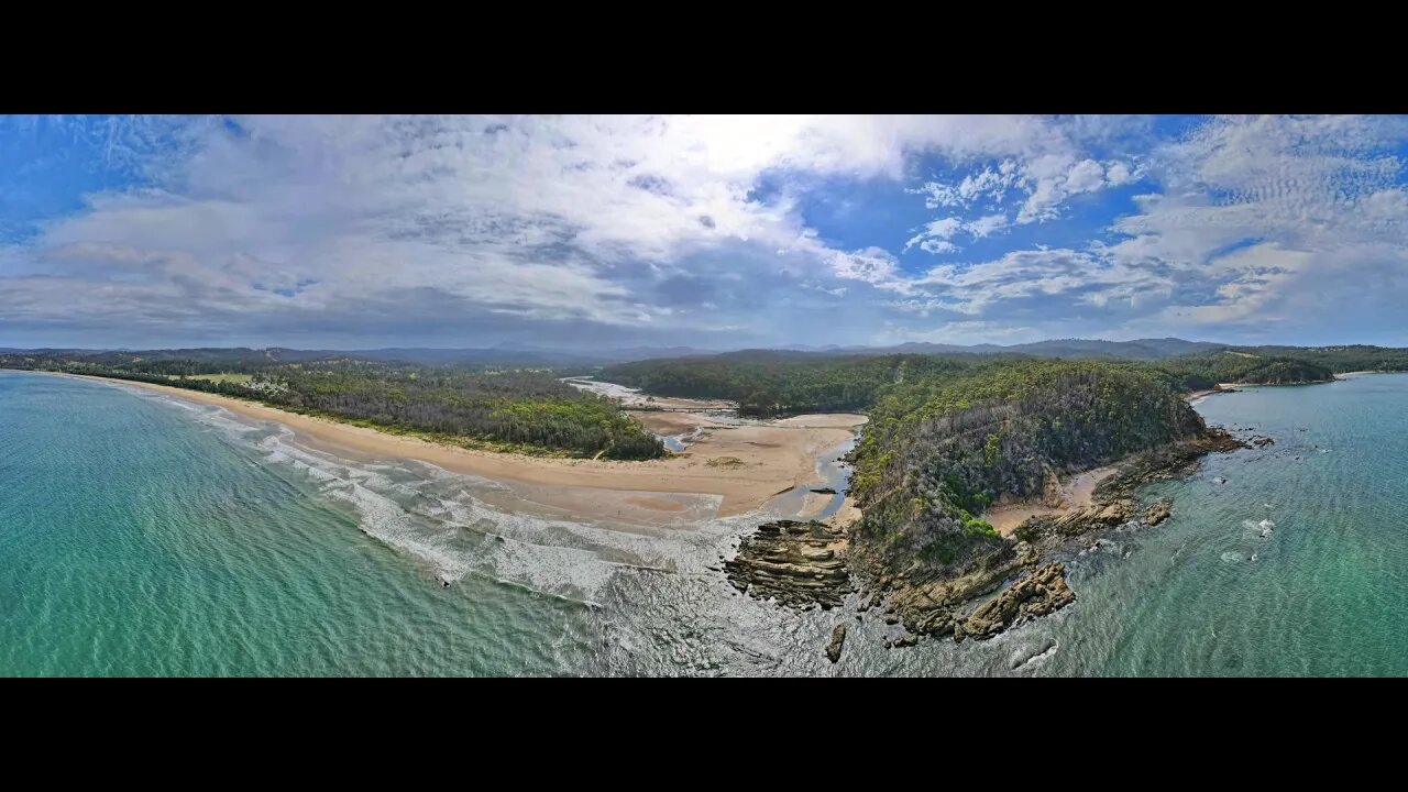
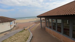
Nullica River & Beach 12 Jan 2021 near Eden Drone fly around
The Nullica River rises below Nullica Hill within Nullica State Forest, approximately 11 kilometres west of Eden, The river flows generally east southeast, joined by one minor tributary, before reaching its mouth and emptying into Nullica Bay, within Twofold Bay, and spilling into the Tasman Sea of the South Pacific Ocean, east of Nullica. The river descends 137 metres over its 11 kilometres course The catchment area of the river is 55 square kilometres with a volume of 176 megalitres over a surface area of 0.3 square kilometres, at an average depth of 0.6 metres. West of the river's mouth, the Princes Highway crosses the Nullica River. FROM WikiPedia.#mallacootaholidays #loveeastgipsland #mallacoota2020 #lovemallacoota © mallacoota2020.com.au #loveeden
-
 4:49
4:49
Mallacoota 2020 videos
3 years agoBetka River 12 December 2021 drone fly around
6 -
 8:27
8:27
Mallacoota 2020 videos
3 years agoBetka River and Beach 3 December 2021 by drone
5 -
 1:04
1:04
My Life
3 years agoDrone Show Coogee Beach 2021
30 -
 6:16
6:16
Mallacoota 2020 videos
3 years agoBetka River Mouth 2nd July 2021 6 minute drone fly around
1 -
 0:36
0:36
TheSouthernWoodsmanUk
2 years agoDrone footage. Bournemouth beach.
6 -
 10:45
10:45
EvenOut
10 hours agoThe Non-Reflecting Mirror On Omegle Twin Prank!
3841 -
 20:07
20:07
Scammer Payback
12 hours ago$4,000,000 Trap set on a Scammer
1.72K -
 5:45
5:45
Tactical Advisor
1 day agoWoox New Lever Action | Shot Show 2025
8451 -
 16:25
16:25
Clownfish TV
10 hours agoDEI is Deader Than Disco! Hollywood Most Affected?!
1.25K3 -
 1:04:23
CarlCrusher
11 hours agoThe TRUTH about Roswell and the UFO Crash Recovery Material
1.1K