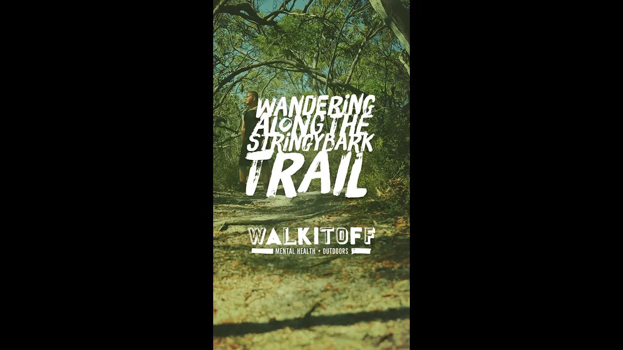
Stringybark Trail - Hiking Map - Australian Hikes
4 years ago
2
#shorts #hiking #australia
• About 1 Hour and 15 minutes drive north east of Adelaide just outside of Tanunda.
• Trailhead is on Tanunda Creek rd.
• There is no offload carpark or facilities of any kind. There however a couple of roadside spots available but be careful as this road is fairly busy with large trucks.
• The trails is easy and accessible, its surface is wide save for a couple of small bottlenecks caused by fallen trees.
2.77km (round trip)
Elevation: 492m - 518m
Incline: MAX: 15.1% AVG: 3.7%
Kaiserstuhl, South Australia.
Map Link: bit.ly/3cdms3F
Loading comments...
-
 10:32
10:32
Nikko Ortiz
14 hours agoFunniest Fails Of The Month
20.6K3 -
 2:04:11
Side Scrollers Podcast
17 hours agoCracker Barrel CANCELS Rebrand + OG YouTuber Has Brain Tumor + More | Side Scrollers IN STUDIO
28.5K4 -
 19:26
19:26
GritsGG
10 hours agoChat Picked My Hair Color! All Pink Loadout & Operator Challenge!
5.6K3 -
 1:27:34
TruthStream with Joe and Scott
3 days agoArchitect Richard Gage: 911 truths and more #482
11.4K3 -
 3:47:17
The Pascal Show
18 hours ago $1.47 earnedBREAKING! Mass Shooting At Annunciation Church In Minneapolis Multiple Shot
21.5K7 -
 LIVE
LIVE
Lofi Girl
2 years agoSynthwave Radio 🌌 - beats to chill/game to
206 watching -
 2:02:49
Inverted World Live
9 hours agoAnnunciation Catholic School Shooting and Spiritual Warfare w/ AK Kamara | Ep. 99
199K27 -
 10:10
10:10
Robbi On The Record
3 days agoHollywood’s Hidden Messages: Predictive Programming & What’s Next
29K34 -
 4:43:34
Drew Hernandez
13 hours agoLGBTQ TERRORIST EXECUTES CATHOLIC KIDS IN MINNEAPOLIS
25.4K18 -
 2:17:08
FreshandFit
9 hours ago10 Top Red Pills About American Women
59.1K19