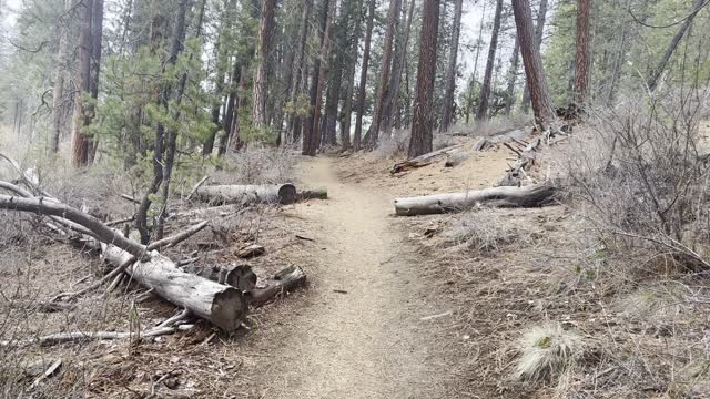
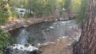
Exploring the Beautiful Deschutes River Trail & Deschutes National Forest – Central Oregon – 4K
My goal of these wilderness trail videos is to 1) show reverence for the beauty of the land, and 2) give YOU actionable trail information that can assist you in planning your own hike here.
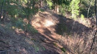
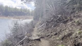
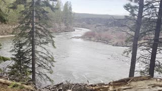
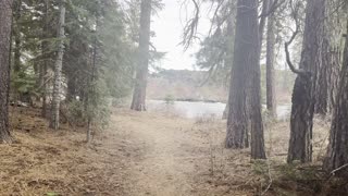
This was a day-hike in Central Oregon, Deschutes National Forest, starting at Sun Lava Path Trailhead and hiking to Benham Falls and then Dillon Falls along the Shoreline of Deschutes River as an Out and Back hiking approximately 8 miles with only a couple hundred feet elevation gain. I call this the "Southern Half" of Deschutes River Hiking (the "Northern Half" starts at Meadow Day Use Picnic Area and also goes to Dillon falls, approximately 8 miles). The temperature was 29 when I started and raised to over freezing. On my way Back to the Trailhead there was a FREAK HAIL STORM that created some ice on the trail requiring more careful footing on the way Back than the original way Out. This was hiked on 4/22/2022 and there were of course NO Mosquitoes. As far as road conditions, it's highway and then a relatively well maintained road to the parking lot. In my opinion, the road most definitely DOES NOT require 4-Wheel Drive, however do watch for road conditions, particularly snow/ice depending on the time of year.
-
 2:31
2:31
HikingViking
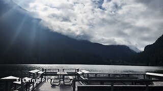
10 days ago(4K UHD) HIKING HIGHLIGHTS - Fishing Pier @ Diablo Lake! | North Cascades National Park | Washington
52 -
 1:12
1:12
HikingViking
3 years agoExploring Deschutes National Forest & Deschutes River – Central Oregon – 4K
8 -
 0:58
0:58
HikingViking
3 years agoExploring Deschutes River Trail – Central Oregon – 4K
72 -
 5:00
5:00
HikingViking
3 years agoExploring Deschutes National Forest – Whychus Creek – Central Oregon
42 -
 3:15
3:15
HikingViking
3 years agoHiking Deschutes National Forest Above Metolius River – Central Oregon
9 -
 1:42
1:42
HikingViking
3 years agoDeschutes National Forest Hiking – Whychus Creek Trail – Central Oregon
6 -
 3:05
3:05
HikingViking
3 years agoHiking Through Beautiful Deschutes National Forest – Deschutes River Trail – 4K
19 -
 2:15
2:15
HikingViking
3 years agoHiking Through Beautiful Forest Above Deschutes River – Central Oregon – 4K
4 -
 0:45
0:45
HikingViking
3 years agoExploring the Forest Shoreline of Deschutes River – Central Oregon – 4K
362 -
 0:28
0:28
HikingViking
3 years agoOverlooking Beautiful Whychus Creek from Deschutes National Forest – Central Oregon
28