Gino Recchia NBC26 Weather Forecast
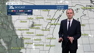
Showers and thunderstorms are expected overnight as a warm front moves northward. Temperatures will fall into the lower 40s with steady southeast winds around 10-15 mph. Some storms may carry small hail with them. Skies will clear a tad for our Saturday. Highs will climb into the mid 70s, marking the warmest day of the year thus far. Winds will remain breezy out of the southeast around 10-20 mph. Some showers and thunderstorms return Saturday night into Sunday with the cold front. Highs on Sunday will rise into the mid to upper 60s. We drop back into the 40s Monday through Thursday with this persistent northwest flow aloft keeping away any of that warmer air mass from our area. The latest outlook for temperatures by the Climate Prediction Center has below average temperatures lasting through the middle of May.
-
 0:30
0:30
WGBA
7 months agoThree Degree Guarantee
61 -
 4:10
4:10
WGBA
2 years agoGino Recchia NBC26 Weather Forecast
3 -
 3:41
3:41
WGBA
2 years agoGino Recchia NBC26 Weather Forecast
1 -
 3:23
3:23
WGBA
2 years agoGino Recchia NBC26 Weather Forecast
-
 3:50
3:50
WGBA
2 years agoGino Recchia NBC26 Weather Forecast
-
 4:21
4:21
WGBA
2 years agoGino Recchia NBC26 Weather Forecast
2 -
 2:51
2:51
WGBA
2 years agoGino Recchia NBC26 Weather Forecast
-
 3:37
3:37
WGBA
2 years agoGino Recchia NBC26 Weather Forecast
2 -
 3:33
3:33
WGBA
2 years agoGino Recchia NBC26 Weather Forecast
7 -
 3:34
3:34
WGBA
2 years agoGino Recchia NBC26 Weather Forecast
2