1 year agoSatellite imagery from June 30 (today), presumably one of the three Wagner Group bases in Belarus.Rumor has itVerified
11 months agoUnveiling the Chelyabinsk Meteor's Aftermath: NASA's NPP Satellite Provides Insights 🌠🛰️NASA Unveiled
2 months agoDoes Satellite Imagery Debunk the Sandy Hook School Shooting?Rogue Nation Eternal Militia
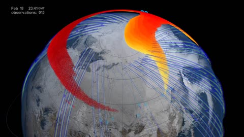
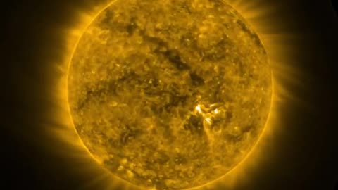
2 months agoWhat Does the Sun Look Like? NOAA Satellite Captures Full Rotation of the Sun!NASA Now Official
1 year agoCIA Archives: The Secrets of Intelligence Gathering - How America's Spies Operate (1943)The Memory Hole
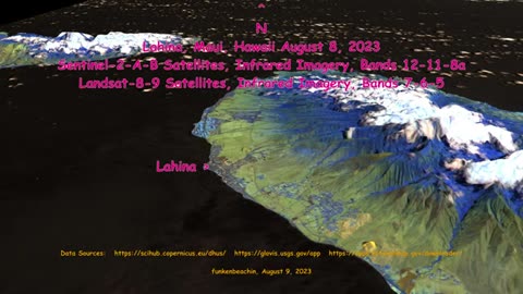
11 months agoBREAKING! PROOF CHINA SATELLITES OVER MAUI AT FIRE STARTS! | The Prather Brief Ep. 92BaggyPants
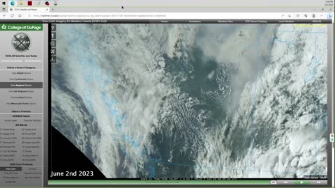
1 year agoCanada Fires | Why Does June 2nd 2023 Satellite Imagery from College of DuPage Meteorology Department Show Dozens of Fires in Quebec Starting Up at Almost the Exact Same Time?Thrivetime Show: The ReAwakening versus The Great ResetVerified
2 months agoSpraying chemtrails over Sandy Hook school shooting hoax blocking evidence Through satellite imageryGlobal_communist_takeover1
2 years agoFlat Earth Deception, Part 9 | Foundations and Biblical Imagery | Does the Bible Teach Flat Earth?Teshuvah Ministries, Inc.
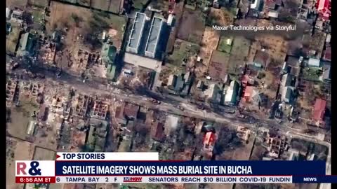
2 years agoSATELLITE IMAGES SHOW GLOBAL CROP DECLINE-EXCEPT RUSSIAN & CHINESE RECORD HARVESTS*THE WAR ON HUMANSEEARTS
4 months ago@Crux41507251 This should alarm everyone in this Republic. 👇Shutting Down Family FarmsRolling With You