1 year agoBreaking NewsMANHUNT Live Video, Police Scanner, Flight Tracking 3D, Mapping.KLW World News
22 days agoPropeller: Cutting-Edge Drone Mapping – From Surveying to Hydrology #293Crownsmen Partners
1 year agoNuremberg 2.0 News Jan20-26th ft 3D Printed Vaccine @ Home w/ Vaccine Passport (NurembergTrials.net)(NurembergTrials.net)
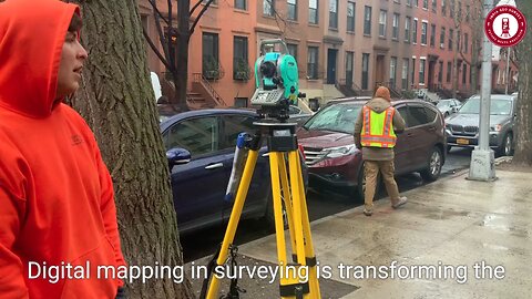
1 month agoLand Surveying in the Metaverse | The Future of Digital Mapping & Virtual Real Estateindiageosurvey
11 months agoWhy Mapping the Brain is the Future of Neuroscience - Sebastian Seung - Thinking adigital Conference 2023nonvaxer420
14 days agoAdvanced Construction Drone Monitoring Solution for 3D Modeling & Site Surveys by OpticVyuOpticVyu
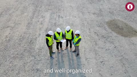
1 month agoHow can drone 2D/3D models help make dirt work efficient in construction projects?droneUVerified
2 years agoLive UFO chat with Paul --061- why UFOLOGY never wises up - Updates on NASA images + Fake Moon reCapThe Out There Channel
1 month agoFuture Business Opportunities in Land Surveying Where the Industry is Heading!indiageosurvey
1 year agoNASA’s STAQS mission is mapping air pollution in 3D across several megacities:NASA_Videos_0