3 years agoExploring data on shapefiles using attribute table. #qgis #gis #attribute #table #shapefile #dataPro Geomatics
3 years agoThe need to understand Coordinate Reference System /CRS as a GIS Student #crs #coordinate #gis #qgisPro Geomatics
2 years agoQGIS Map Labels: How to correctly label your map using Single &Rule-based Styles in GIS #qgis #gisPro Geomatics
2 years agoSimple way to create locator / Inset Map on QGIS for your research site #qgis #locatormap #insetPro Geomatics
2 years agoLevel Survey PART 1: Why we need DATUMS for level surveys #survey #landsurveying #engineeringPro Geomatics
2 years agoLevel Survey Part 4: How to conduct a level survey - from benchmark 1-2 #engineering #surveyPro Geomatics
2 years agoLevel Survey Part 3: How to set up and read Automatic Level on site #engineering #survey #sitePro Geomatics
2 years agoHow to make proposed design for Cut and Fill Profiles on Autocad Civil 3D #autocad #design #civil3dPro Geomatics
2 years agoLevel Survey Part 5: Rise and Fall method of reducing Level Data into Elevations/SpotheightsPro Geomatics
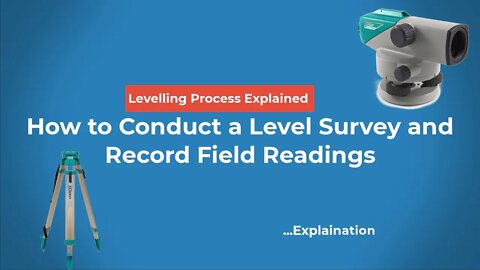
2 years agoLevel Survey Part 2: How to Conduct a Level Survey and Record Field Readings #engineering #surveyPro Geomatics
2 years agoQField Cloud for iOS device. Connect your QGIS project to iOS phone for data collection #qfield #gisPro Geomatics
2 years agoHow to design cut and fill #profile for road design on #autocad #civil3d #road #civilengineeringPro Geomatics
4 years agoCraziest Animal Attacks King Lion vs Buffalo Crocodile Leopard Wild/ الهجمات الأكثر جنون للحيواناتOur Wild
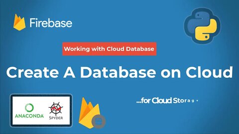
3 years agoCreate a Cloud Database on Firestore for cloud storage #firestore #database #cloudstorage #realtimePro Geomatics
3 years agoHow to Setup QGIS environment on your PC & create a proper working directory #qgis #gis #geomaticsPro Geomatics