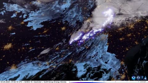
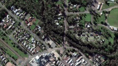
2 years agoQuebec, Canada Fires | Why Does June 2nd 2023 Satellite Imagery from College of DuPage Meteorology Department Show Dozens of Fires in Quebec Starting Up at Almost the Exact Same Time?Thrivetime Show: The ReAwakening versus The Great ResetVerified
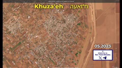
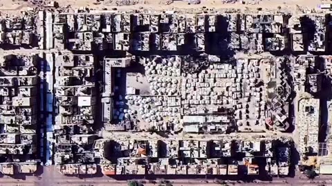
1 month ago“Satellite imagery shows the massive destruction in the town of Khuza'a, southern Gaza, after 19 months of ongoing Israeli genocide.”palmernpVerified
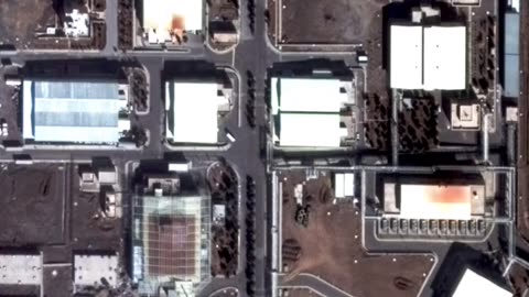
9 days agoNatanz, Iran Nuclear Facility Aftermath: Satellite Imagery Shows Israeli Strike DamageLinking Atlas
7 months agoAmerican Voters: Did you know Democrats have been using satellite imagery to raid American Farms?Question EverythingVerified
4 years agoNephilim Giant caught on satellite imagery of the Patagonian MountainsUfomania - the truth is out there
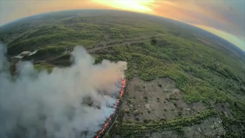
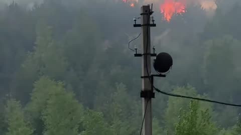
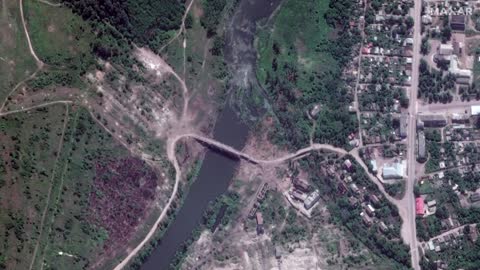
1 month ago🔥 NASA satellite imagery shows a large-scale fire burning at the site of the 304th Ammunition DepotWar in UkraineVerified
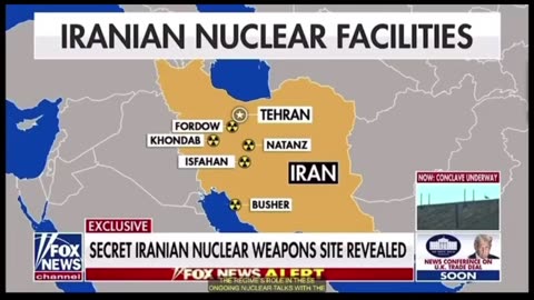
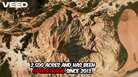
15 days agoSatellite imagery reveals a previously UNKOWN nuclear facility in Iran that spans 2500 acresGHardJoe
9 days agoDid Iran move its Uranium? Satellite imagery reveal trucks outside Fordow before US strikeWorld News
1 month ago🔥 NASA satellite imagery shows a large-scale fire burning at the site of the 304th Ammunition DepotWar in UkraineVerified
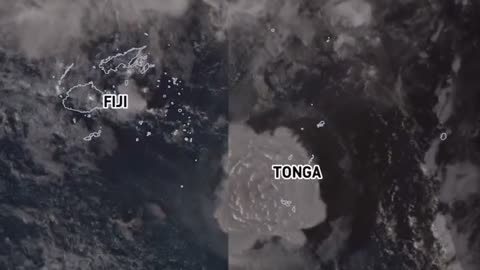
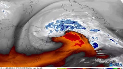
3 years agoSatellite imagery shows shockwave as Tonga's Hunga volcano erupts, causing tsunamiEarth Wind and FireVerified
9 days agoGaza Before & After: Satellite Imagery Reveals Scale of Devastation & Tent Cities (2023-2024 Update)Linking Atlas
2 years agoSatellite imagery reveals damage by Sudanese military factions at airports and government buildingsJTN2020Verified
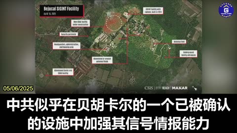
1 month agoDr. Ryan Berg Presents New Satellite Imagery of Potential CCP Surveillance Facilities in CubaGloryMifan
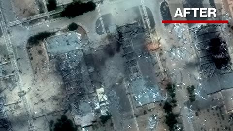
10 days agoAftermath: Satellite Images Show US Bunker Buster Damage at Iran's Fordow Nuclear SiteLinking Atlas