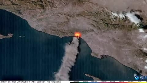
1 year agoCanada Fires | Why Does June 2nd 2023 Satellite Imagery from College of DuPage Meteorology Department Show Dozens of Fires in Quebec Starting Up at Almost the Exact Same Time?Thrivetime Show: The ReAwakening versus The Great ResetVerified
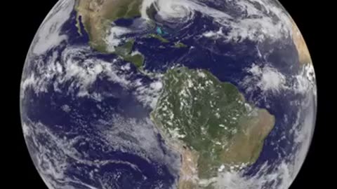
1 year ago"Sandy's Progression to Landfall Captured by Satellite in a Panoramic Global View."muhamadimran
1 year agoUnveiling the Chelyabinsk Meteor's Aftermath: NASA's NPP Satellite Provides Insights 🌠🛰️NASA Unveiled
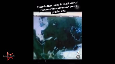
2 years agoCanadian "Wildfires" Are Not Naturally Occurring - Image Shows Simultaneous CombustionCapstar Media
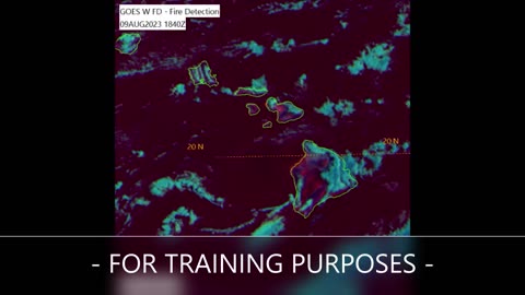
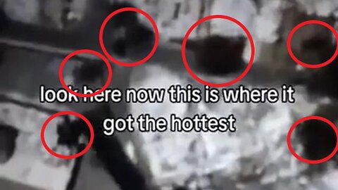
1 year agoSATELLITE IMAGERY REVEALS HOW THE FIRES WERE STARTED AND WHERE IN MAUI - VERY TELLINGPatriot Vibes 1Q7
2 years agoA fortunate accident and lesson learned from joining the military #shorts #militaryThe NDS Show Podcast
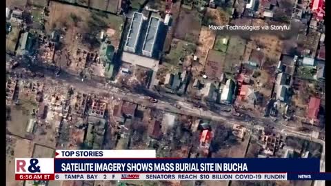
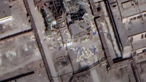
2 years agoGoogle map has updated its satellite imagery for the Ukrainian city of mariupol360infotoyou
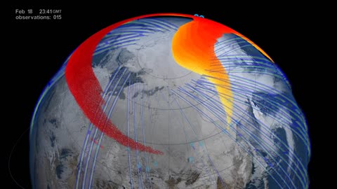
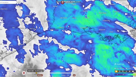
1 year agoSatellite Footage of Harp Activating Over Texas? Film got cut short but it's still okay.Real Fishing Life
1 year agoWhat Does the Sun Look Like? NOAA Satellite Captures Full Rotation of the Sun!NASA Now Official
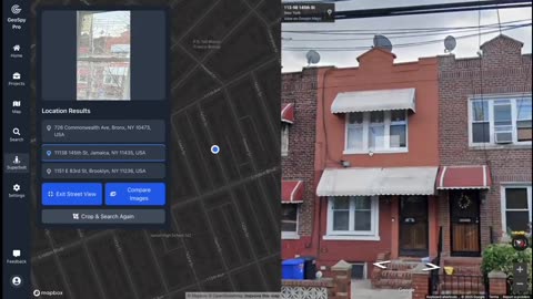
3 months agoOpen Source Intelligence (OSINT🌐) Finding the exact location with just a picture using GeoSpy.AIZoZo6zxl6z66