Premium Only Content

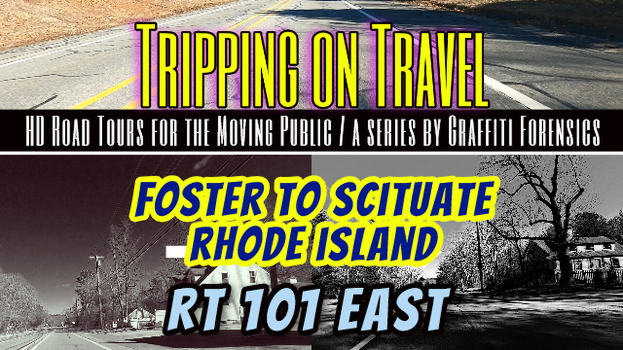
Tripping on Travel: Foster, Rhode Island
If you read the literature published about the history of Foster, Rhode Island as told by the Foster Preservation Society, referencing a document from 1891, you will experience a rather lighthearted tale about the area, full of numbers and statistics, the name of the founders and other political and religious actors involved in it's birth. But if you read a history of Foster as told by Wikipedia in 2023, you learn of a darker side to it's history. Such as, the land was originally occupied and used by a local indian tribe. Such as, British colonists purchased the land called West Quanaug from that indian tribe in 1662 and settled on it. Wikipedia goes on to say that the Klu Klux Klan was active in the area in the 1920s, and "the largest Klan rally north of the Mason–Dixon line was held in Foster on the Old Home Day grounds in 1924 with 8,000 in attendance and U.S. Senator J. Thomas Heflin of Alabama speaking. Foster remained a bastion of racial and religious bigotry for more than half a century." During my route in this video I drive over a hill titled Jerimoth Hill. It suffers from a conflicting notoriety as being the highest point in Rhode Island (812 ft), and yet is still the lowest state highpoint in New England.
Might & Magic by Alexander Nakarada | https://www.serpentsoundstudios.com
Music promoted by https://www.free-stock-music.com
Creative Commons / Attribution 4.0 International (CC BY 4.0)
https://creativecommons.org/licenses/by/4.0/
Foster Preservation Society
https://fosterpreservationsociety.org
Wikipedia & Foster, Rhode Island
https://en.wikipedia.org/wiki/Foster,_Rhode_Island
Maps of routes by Bing Maps. My only task was to trace my driving route from A (start) to B (end) to match the footage that follows it.
Other Graffiti Forensics channels and pages
http://www.youtube.com/c/GraffitiForensics
https://www.facebook.com/GForensics/
https://www.bitchute.com/channel/graffitiforensics/
-
 10:12
10:12
This Bahamian Gyal
17 hours agoInfluencer hired HITMEN to OFF social media rival
38.6K4 -
 7:05
7:05
Dr. Nick Zyrowski
1 day agoVitamin D Mistakes Most People Make - Never Do This!
33.6K2 -
 2:11:13
Squaring The Circle, A Randall Carlson Podcast
23 hours ago#29 Thermonuclear War: Shall We Play A Game? - Squaring the Circle: A Randall Carlson Podcast
53.8K32 -
 45:32
45:32
PMG
13 hours ago $13.61 earned"Are THEY HIDING Jeffrey Epsteins Video Tapes?"
56.5K5 -
 1:32:23
Game On!
19 hours ago $16.13 earnedCongrats to the Kansas City Chiefs and NFL refs on another victory!
91.3K5 -
 2:44:58
Fresh and Fit
17 hours agoCelina Powell & 304 Kicked OFF & Fight Breaks Out!
250K303 -
 18:28
18:28
DeVory Darkins
20 hours ago $80.60 earnedCNN Goes NUCLEAR on Elon Musk with SHOCKING Allegations
251K411 -
 10:49
10:49
IsaacButterfield
1 day ago $1.01 earnedCONTROVERSIAL
19.7K15 -
 8:55
8:55
Ethical Preparedness
21 hours ago $0.74 earnedALERT: Prepper Black Friday Sale - Oupes Mega 1 Solar Generator
13.5K2 -
 1:24:35
Ariston Production from Macedonia
3 days agoMystical Macedonia | Season 1 | Made in Macedonia | 84 minutes
12.3K1