Volcanic eruption view from international space
This
NASA's Volcano Observations
As of my last update in September 2021, there have been multiple volcanic eruptions that NASA has captured from space over the years. Satellites equipped with different imaging sensors provide crucial information about volcanic eruptions, their ash plumes, and the resultant impacts. Some of the most famous images have been captured by satellites like Terra, Aqua, and Landsat, among others.
For instance, the eruption of Mount Raung in Indonesia in 2015, the eruption of the Sarychev Peak in Russia in 2009, and the 2010 eruption of Eyjafjallajökull in Iceland, which caused significant disruption to European air travel, were all captured from space.
However, if there's a specific volcanic eruption after 2021 that you are referring to, I would not have information on that. You would need to consult a more recent source or specify which eruption you're asking about from before 2021.
-
 0:19
0:19
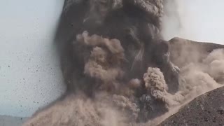
ViralHog
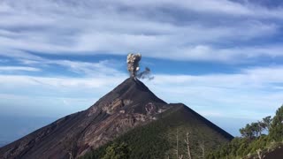
4 years ago $0.21 earnedIncredible View of Volcanic Eruption
1.47K -
 0:57
0:57
Jam3sCow3n
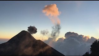
5 years agoVolcanic eruption creates stunningly beautiful sunset
6802 -
 1:02
1:02
jo1234569
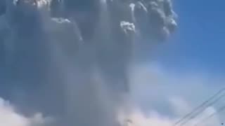
9 months agovalcano erupts
17 -
 11:03
11:03
Environmental 911 Call The World Needs
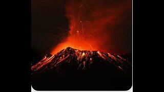
1 year ago41 VOLCANOES ARE ACTIVE & ERUPTING INCLUDING NEAR MEXICO CITY, SICILY ITLAY & ANTARCTICA
10 -
 1:00:07
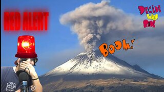
DecideWhatSide2
7 months agoInsane Volcano Activity Worldwide!! 😫😨 WAKE UP WORLD
23 -
 0:08
0:08
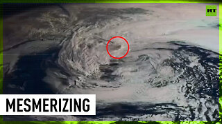
RT
1 year agoAliens’ POV: Space satellites reveal Shiveluch volcano eruption
1.53K6 -
 0:17
0:17
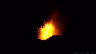
ViralHog
5 years ago $0.22 earnedIncredible View of Volcano Eruption
1.07K -
 1:49
1:49
World News and Events
5 months agoA volcanic eruption in Iceland following an earthquake
169 -
 1:12
1:12
Mr Producer Media
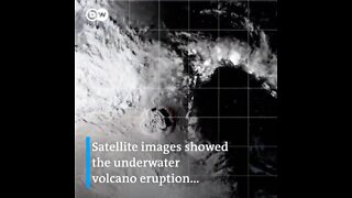
2 years agoSatellite Captures Eruption Of Volcano That Created Tsunami So Big It's Visible From Space
1.01K4 -
 44:03
44:03
EEARTS
1 year agoVOLCANOES AWAKENING ACROSS GLOBE-MAJOR EARTH CHANGES AHEAD?*PAST CIVILIZATIONS & SUDDEN EXTINCTIONS*
415